What is recorded here
The parish church of Kilbride parish (WX016-015001-) is in a faintly outlined circular graveyard (diam. c. 40m) that is marked on the 1839 ed. of the OS 6-inch map. It is situated towards the bottom of the N-facing slope of an ENE-WSW ridge, and the present Church of Ireland church is on its site within a larger graveyard (dims. c. 75m NW-SE; c. 60m NE-SW).
Compiled by: Michael Moore
Date of upload: 21 May, 2012
The monument record does not grant public access. Check the route and ask the landowner before entering private land.
- What survives
- Recorded monument
Places near here
 site of ChurchChurch · 1 yd
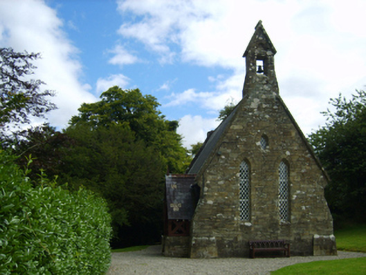 Holy Trinity Church (Kilbride)church/chapel · 45 yd
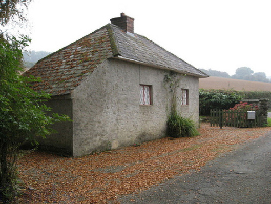 Ballymore Housegate lodge · 95 yd
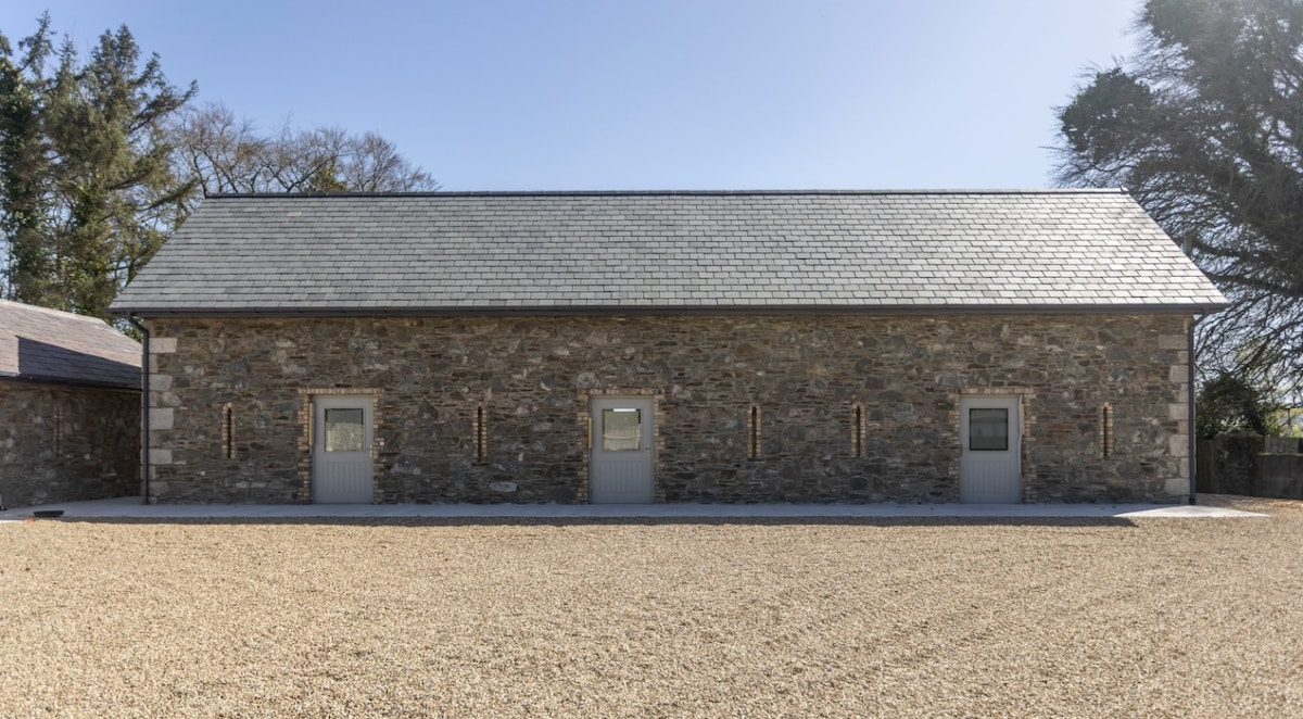 Enclosure in Ballymore DemesneEnclosure · 230 yd
 Carrigroe HillMountain / peak · 1407 yd
 Boley HillMountain / peak · 1.1 mi
 Giants BedNamed rock · 1.3 mi
 The GroveWood · 2.2 mi
 The CoilWood · 2.3 mi
 Father Murphy CentreHeritage attraction · 3.7 mi
 Bird BoxesVisitor information · 4.9 mi
 Birds of PreyVisitor information · 5.0 mi