What is recorded here
Located at the top of a steep cliff (H c. 30-40m) overlooking the estuary of the Barrow/Nore/Suir, which is to the S. The church of St James and Dunbrody (WX044-018001-) was within a subrectangular graveyard (dims c. 90m E-W; c. 40m N-S) defined by masonry walls. Some grave-markers are decorated with plain latin crosses in relief. A granite trough (ext. dims 1m x 0.63m; H 0.25m; int. dims 0.82m x 0.44m; D 0.16m) is coffin-shaped and child-sized, and might have been closed by the stone effigy (WX44-033002-) now in Arthurstown village c. 500m to the E. The stone head (WX044-033001-) now in the village also probably came from this church.
Compiled by: Michael Moore
Date of upload: 17 June, 2013
Amended: 9 September 2020
The monument record does not grant public access. Check the route and ask the landowner before entering private land.
- What survives
- Recorded monument
Places near here
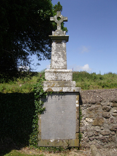 Ballyhack Church (Saint James and Dunbrody)graveyard/cemetery · 13 yd
 Church in BallyhackChurch · 18 yd
 Arthurstown BeachBeach / strand · 524 yd
 Otter with a SalmonMemorial · 558 yd
 Ballyhack Castle (in ruins)Castle, tower house · 632 yd
 Tower (in ruins)Bastioned fort · 849 yd
 PassageSettlement cluster · 980 yd
 Ivory MemorialMemorial · 1306 yd
 Kilhile Castle (in ruins)Castle, tower house · 1375 yd
 Common WhitebeamCommon Whitebeam · 1.1 mi
 Catherine's BayBay · 1.5 mi
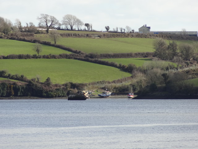 Nook BayBay · 1.5 mi