What is recorded here
Situated at the E edge of a plateau overlooking the valley of a N-S stream, which is c. 150m to the W. It is now at the SE edge of a large quarry with man-made cliffs just W and of the graveyard. The parish church of Ballyconnick (WX046-008001-) is within a subrectangular graveyard (int. dims 36.5m E-W; 32.8m N-S) defined by masonry walls. An original gate at N is now disused and there is a modern entrance at the SW corner.
Compiled by: Michael Moore
Date of upload: 16 August, 2013
The monument record does not grant public access. Check the route and ask the landowner before entering private land.
- What survives
- Recorded monument
Places near here
 Church (in ruins)Church · 5 yd
 Font in BallyconnickFont · 5 yd
 Castle (in ruins)Castle, unclassified · 592 yd
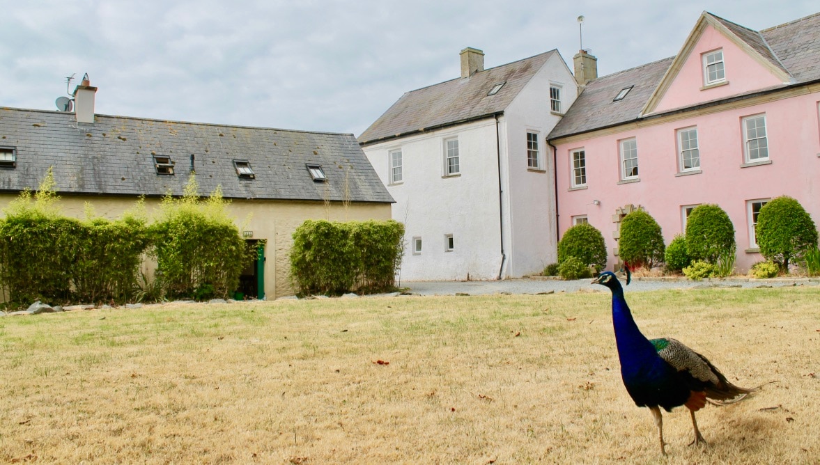
 Ballyconnick Housefarm house · 620 yd
 CastleRuins · 1268 yd
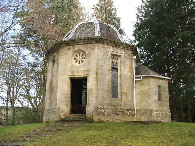 Site of R. C. ChapelChurch · 1.8 mi
 Carrickatinna RockMountain / peak · 2.8 mi
 CloraneMountain / peak · 3.9 mi
 Cull IslandIsland · 4.1 mi
 Ballyteigue BurrowNature reserve · 4.9 mi
 Carrig-On-BannowVisitor information · 5.1 mi
 1798 MemorialMemorial · 5.1 mi