What is recorded here
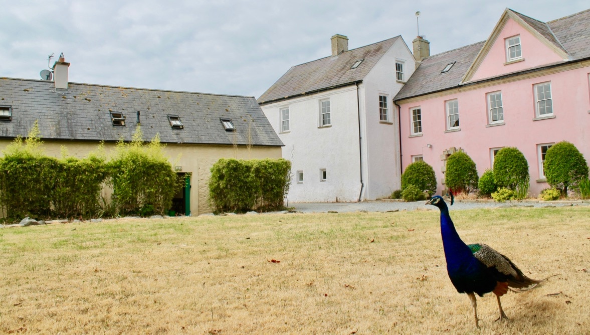
Ballyconnick, together with Ballyanne in Bantry was held by the service of a knight’s fee by Thomas de Bosco from the Valence estate in 1247. By 1425 the two areas were held by the same family, now called Bosher, but the value is reduced by half, which may mean that Ballyanne was abandoned. In 1551 and 1559 Jasper Boshere of Ballyconnic successfully sues Cahir Mc Art Kavanagh for Ballyanne, but never regains possession (Brooks 1950, 109-12). Nicholas Bosher of Ballyconnick is recorded in 1571, 1574 and 1618 (ibid. 113), and in 1640 Robert Busher owns the castle and 240 acres at Ballyconnick as well as a total of 700 acres in Ballyconnick parish at Croase, St. Tenants, Edwardstown and Philippintown (Simington 1953, 138). The castle is situated on a gentle SE-facing slope. It is described by John O’ Donovan writing c. 1840 as portion of a wall built into a haggard wall (O'Flanagan 1933, vol. 2, 208). There are no visible remains of a structure at ground level in a farm complex.
The above description is derived from the published 'Archaeological Inventory of County Wexford' (Dublin: Stationery Office, 1996). In certain instances the entries have been revised and updated in the light of recent research.
Compiled by: Michael Moore
Date of upload/revision: 19 March, 2013
Ballyconnick Castle was originally held by Thomas de Bosco in 1247 as part of a knight’s fee from the Valence estate. By 1425, it was held by the Bosher family, indicating continuity of landholding in southwest Ireland during the late medieval period.
This remains an important historical record, but the official description says the monument is no longer visible or has been destroyed. The monument record does not grant public access. Check the route and ask the landowner before entering private land.
- What survives
- No visible remains or recorded as destroyed
Places near here
 Ballyconnick Housefarm house · 32 yd
 Church (in ruins)Church · 597 yd
 Font in BallyconnickFont · 597 yd
 Site of CastleChurch · 1431 yd
 CastleRuins · 1.0 mi
 Bawn in Durra BigBawn · 1.5 mi
 Carrickatinna RockMountain / peak · 2.4 mi
 Skeater RockMountain / peak · 2.7 mi
 Cull IslandIsland · 4.4 mi
 Ballyteigue BurrowNature reserve · 5.2 mi
 Carrig-On-BannowVisitor information · 5.4 mi
 1798 MemorialMemorial · 5.4 mi
Other information
Photo: Credit not shown in the picture search · Rights wording not checked; contact us if this picture should be removed