What is recorded here
Grave Yard stands east of Whitechurch, a rectangular field of dead men bounded by stone and marked by headstones reaching back to 1752. Its church rose and fell twice before disappearing entirely, leaving only a low wall to hint at the structure that once watched over the buried. The gate still swings open for occasional funerals, proving the living have not forgotten the quiet claim of the ground beneath.
On E side of Whitechurch village; rectangular graveyard (c. 80m E-W; c. 70m N-S), in occasional use. Enclosed by stone wall, entrance on N side with 'a noble pair of piers, on which hangs a large high double gate' (Buckley 1910-12). Earliest inscribed headstone dated 1752 (Buckley ibid.). In NW quadrant remains of C of I church; earlier church (CO063-014002-) reported in ruins 1615 and 1694 but rebuilt by 1774 and rebuilt again 1801 (Brady 1863, vol. 2, 405-7). Lewis (1837, vol. 2, 712) describes latter church as 'a spacious structure in the early English style, with a square tower surmounted by a low spire'; the church is shown as T-shaped on 1842 OS 6-inch map. By 1902 marked as 'in ruins' on OS 6-inch map; according to Buckley (ibid.) 'taken down' about 1890. Section of wall survives (15.4m E-W; max. H 0.7m) with return to S (L 6.2m) at E end, possibly remains of church. Site of ancient parish church of Whitechurch.
The above description is derived from the published 'Archaeological Inventory of County Cork. Volume 2: East and South Cork' (Dublin: Stationery Office, 1994). In certain instances the entries have been revised and updated in the light of recent research.
Date of upload/revision: 14 January 2009
The monument record does not grant public access. Check the route and ask the landowner before entering private land.
- What survives
- Recorded monument
Places near here
 Church in WhitechurchChurch · 16 yd
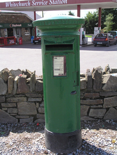 post boxpost box · 487 yd
 DolmenWedge tomb · 1475 yd
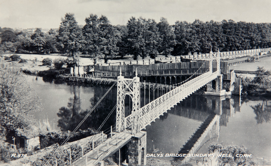 Sundays WellHoly well · 1724 yd
 Castle (in Ruins)Castle, tower house · 1.5 mi
 Graveyard in KilmonaGraveyard · 2.5 mi
 Pakie HoganMemorial · 3.1 mi
 Castle (Site of)Castle, unclassified · 3.2 mi
 BatsVisitor information · 3.6 mi
 River Martin Mill & WeirVisitor information · 3.6 mi
 Waterloo Loop WalkWalking route · 3.6 mi
 Ring WoodWood · 3.8 mi