What is recorded here
Grave Yard in County Carlow, Ireland holds a church built in 1669, ruined, then rebuilt in 1820. The datestone still sits above the door, witnessing the transformation from decay to renewal. Within a roughly square enclosure, the church stands as a beacon of human resilience, marking how far life and death can bend before breaking.
Datestone over door states that church (CW007-014----) was built in 1669, fell into ruin and was rebuilt in 1820. The 19th century church is centrally placed within a graveyard on the 1839 'OS 6-inch' map and is depicted as being N of centre on the 1908 'OS 6-inch' map within a roughly square enclosure (map dims. c. 35m NW-SE; c. 40m NE-SW).
Compiled by: Jean Farrelly
Date of upload: 19 August 2011
The monument record does not grant public access. Check the route and ask the landowner before entering private land.
- What survives
- Recorded monument
Places near here
 Urglin Churchchurch/chapel · 3 yd
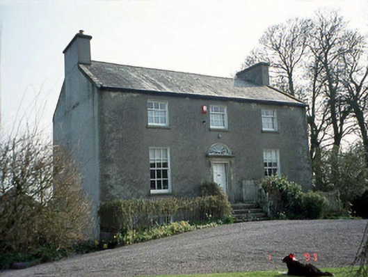 Rutland Househouse · 177 yd
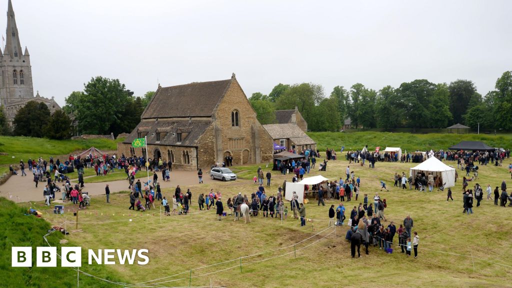 Enclosure in Urglin OR RutlandEnclosure · 694 yd
 Brownshill Portal TombVisitor information · 1344 yd
 Enclosure in BallynakillbegEnclosure · 1503 yd
 Site of CastleCastle, unclassified · 1.5 mi
 European YewEuropean Yew · 1.5 mi
 Graigue Castle in ruinsCastle, unclassified · 1.5 mi
 Cork oakCork oak · 1.6 mi
 Duckett's GroveHeritage attraction · 2.2 mi
 Church (in Ruins), GraveyardChurch · 2.9 mi
 ProclamationMemorial · 4.6 mi