What is recorded here
The site of the parish church of St Michael of Feagh (WX037-032017-) is within a raised subrectangular graveyard (dims c. 50m WNW-ESE; c. 30m NNE-SSW) defined by masonry walls. It is located towards the N end of a low NW-SE ridge. There are no visible remains of the church at ground level. Archaeological testing (94E0198) and (94E0202) on the E wall of the graveyard produced evidence of post-medieval burials (Scally 1995), but testing (04E1257) at Faythe Lane c. 60m to the S failed to produce any related material (Stafford 2008). Archaeological testing (18E0460) by Y. Whitty on the W side of Michael St. produced no archaeological finds or features (excavations.ie 2018: 778).
Compiled by: Michael Moore
Date of upload: 19 December, 2012
Amended: 9 Nov. 2020
This remains an important historical record, but the official description says the monument is no longer visible or has been destroyed. The monument record does not grant public access. Check the route and ask the landowner before entering private land.
- What survives
- No visible remains or recorded as destroyed
Places near here
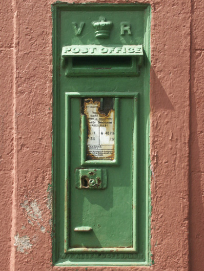 post boxpost box · 37 yd
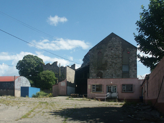 Castle Househouse · 55 yd
 Sack of Wexfordsiege · 132 yd
 Siege of Wexfordsiege · 136 yd
 Lock Out GateMemorial · 148 yd
 By Hook or By CrookMonument · 180 yd
 Town WallTown defences · 280 yd
 Michael CollinsMemorial · 476 yd
 Three Sisters River CruisesHeritage attraction · 785 yd
 Site of CastleCastle, unclassified · 1.7 mi
 Castle (in ruinis)Castle, tower house · 2.1 mi
 Wexford Wildfowl ReserveHeritage attraction · 2.3 mi