What is recorded here
In pastureland on the S-facing slope of an E-W running esker ridge. This rectilinear graveyard (c. 80m NW-SE; c. 60m NE-SW) is enclosed by a stone wall (H 1m). Access is gained at SSE. The remains of a church (GA118-075----) occupy its S end. Most of the headstones date to the 19th and 20th centuries but a number of uninscribed slabs are visible in the S and NW sectors. According to local information, there is a mass grave associated with the Famine in the N sector.
Compiled by: Olive Alcock
Date of upload: 6 April 2020
The monument record does not grant public access. Check the route and ask the landowner before entering private land.
- What survives
- Recorded monument
Places near here
 Enclosure in TiranascraghEnclosure · 761 yd
 R.C. ChapelChapel · 1198 yd
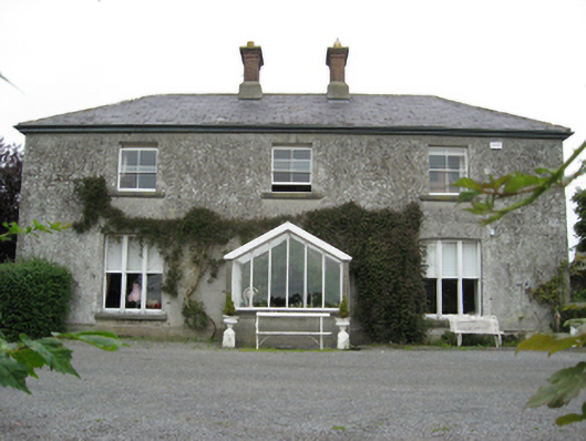 Longford Housecountry house · 1275 yd
 Longford Castle (in ruins)Castle, unclassified · 1350 yd
 St. Patricks WellHoly well · 1626 yd
 Ballymacegan IslandIsland · 1.3 mi
 Long IslandIsland · 1.5 mi
 Derryhiveny CastleCastle · 1.8 mi
 European ashEuropean ash · 3.9 mi
 MeelickVisitor information · 4.5 mi
 European YewEuropean Yew · 4.6 mi
 Portumna Castlegate lodge · 4.6 mi