What is recorded here
Situated on a break of slope with land falling away to the SW, in very undulating, rough pasture with a lot of outcrop and drainage activity. An ecclesiastical site founded by Augustinian canons in the twelfth/thirteenth century (Gleeson 1915, vol. 2, 347). Referred to as the 'rectory of Twomahone' in the Royal Inquisition of 1568 (Stout 1984, 106). Ruins of a medieval church (TN018-010001-) stand in the N quadrant of a roughly trapezoidal-shaped graveyard (int. dims. 65m N-S; 37m E-W) enclosed by post and wire fencing with gateway at W side. In the graveyard there are a number of roughly cut tombstones of mid-eighteenth-century date, and also nineteenth- and twentieth-century headstones. According to the OS Letters the large graveyard was 'not enclosed by any wall or mound' (O'Flanagan 1930, vol. 2, 91). An aerial photograph taken in 1973 (GSIAP, S 81/80) shows a large curving earthwork to the E of the church and graveyard. This may be part of a larger ecclesiastical enclosure (TN018-010002-) which originally surrounded the site.
Compiled and revised by: Caimin O'Brien.
Date of revised upload: 13 February 2015
Medieval ecclesiastical site, 12th–13th century, associated with an Augustinian canonry. Its significance lies in reflecting the spread of monastic foundations in Ireland during the medieval period.
The monument record does not grant public access. Check the route and ask the landowner before entering private land.
- What survives
- Recorded monument
Places near here
 Garrabaun Church (in ruins)Church · 25 yd
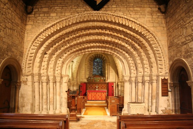 Ecclesiastical enclosure in TimoneyEcclesiastical enclosure · 51 yd
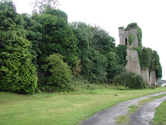 Timoney Parkcountry house · 429 yd
 Fulacht fia in Cullaun,timoney HillsFulacht fia · 1642 yd
 Carricknasrock WoodWood · 1.0 mi
 Black HillMountain / peak · 1.5 mi
 Rockforest Ho.Castle, unclassified · 1.6 mi
 Castle (in Ruins)Bawn · 1.9 mi
 European BeechEuropean Beech · 2.6 mi
 Saint Kieran's WellSpring · 3.9 mi
 Roscrea Petty Sessions HouseHeritage attraction · 4.1 mi
 Millennium GardenMemorial · 4.4 mi