What is recorded here
An irregularly shaped graveyard (map dims. c. 42m NE-SW; c. 62m NW-SE) with a church (CW012-057001-) aligned E-W roughly N of centre. A road runs NW-SE along the SW boundary of the graveyard.
Compiled by: Jean Farrelly
Date of upload: 19 August 2011
The monument record does not grant public access. Check the route and ask the landowner before entering private land.
- What survives
- Recorded monument
Places near here
 Church (in ruins), GraveyardChurch · 5 yd
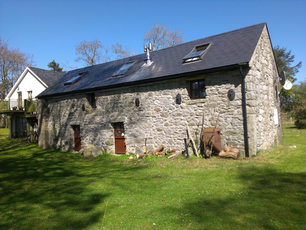 Enclosure in GraiguealugEnclosure · 621 yd
 Enclosure in BallintraneEnclosure · 715 yd
 Graiguenaspiddoge Castle in ruinsCastle, tower house · 734 yd
 Graiguealug Castle in ruinsCastle, unclassified · 1490 yd
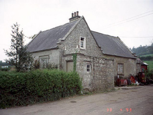 Graiguenaspiddoge National Schoolschool · 1575 yd
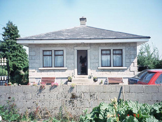 Kilknock Housegate lodge · 1.3 mi
 Kilmurry Church (in ruins), GraveyardChurch · 1.5 mi
 Pedunculate OakPedunculate Oak · 2.6 mi
 Common LimeCommon Lime · 3.9 mi
 The Columban WayVisitor information · 5.9 mi
 Lock Keeper's House and Lodge MillsVisitor information · 6.3 mi