What is recorded here
Situated on a gentle SE-facing slope. The remains of a poorly preserved rectangular structure (dims. c. 15.5m E-W; c. 7m N-S) defined by a low stony bank (Wth 2.5-3m; H 0.5m). The graveyard contains some mid-eighteenth century headstones and is still in use. It is a D-shaped area (dims. 42m NW-SE; 39m NE-SW) defined by an earth and stone bank (Wth 2m; H 1.2m) with external drystone facing.
The above description is derived from the published 'Archaeological Inventory of County Wicklow' (Dublin: Stationery Office, 1997). In certain instances the entries have been revised and updated in the light of recent research.
Date of upload/revision: 17 September 2013
The monument record does not grant public access. Check the route and ask the landowner before entering private land.
- What survives
- Recorded monument
Places near here
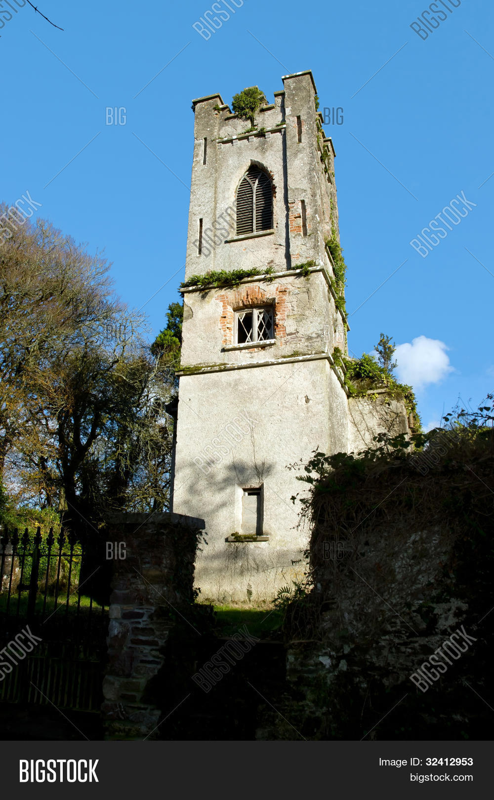 Church (Site of)Church · 10 yd
 Site of churchArchaeological place · 23 yd
 Church in TemplerainyChurch · 1.1 mi
 Church in Shelton AbbeyChurch · 1.6 mi
 Kingston WoodForest · 1.7 mi
 Sitka SpruceSitka Spruce · 1.8 mi
 Site of CastleCastle, unclassified · 2.5 mi
 Castle (in ruin)Castle, Anglo-Norman masonry castle · 2.9 mi
 Woodenbridge World War One MemorialMemorial · 3.1 mi
 Battle of Arklowbattle · 3.2 mi
 South BeachBeach / strand · 3.7 mi
 The CoveBeach / strand · 4.2 mi