
What is recorded here
Situated on a gentle S-facing slope overlooking a steep drop immediately to the S. There is no visible indication of the 'Site of Grave Yard' marked on the 1838 OS 6-inch map as a rectangular enclosure (dims. c. 60m x 25m). Price (1967, 474-5) states that the area was leased to Robert Hassells in 1685. His house was called Shelton, which became the townland name. Price also mentions that the graveyard was on a hill named Whitson hill on a Shelton estate map, and suggests that this was also the site of a church.
The above description is derived from the published 'Archaeological Inventory of County Wicklow' (Dublin: Stationery Office, 1997). In certain instances the entries have been revised and updated in the light of recent research.
Date of upload/revision: 17 December 2008
A local church or high cross; wider significance not recorded.
The monument record does not grant public access. Check the route and ask the landowner before entering private land.
- What survives
- Recorded monument
Places near here
 Shelton Abbeycountry house · 920 yd
 European YewEuropean Yew · 1029 yd
 TuliptreeTuliptree · 1065 yd
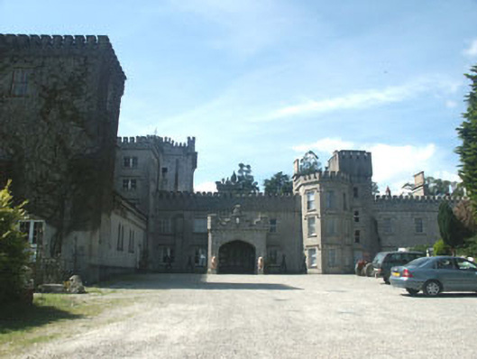 Glenart Castlecountry house · 1.0 mi
 Font in Kilbride (arklow By., Kilbride Ed)Font · 1.2 mi
 Enclosure in BallycooleenEnclosure · 1.4 mi
 Castle (in ruin)Castle, Anglo-Norman masonry castle · 1.9 mi
 Battle of Arklowbattle · 2.1 mi
 Woodenbridge World War One MemorialMemorial · 2.2 mi
 Site of CastleCastle, unclassified · 2.5 mi
 South BeachBeach / strand · 2.9 mi
 The CoveBeach / strand · 3.3 mi
Other information
Photo: Credit not shown in the picture search · Rights wording not checked; contact us if this picture should be removed