
Places near here
Photo credits
- Dr Charles Nelson, Wikimedia Commons · CC BY-SA 2.0
- User:Cqui, Wikimedia Commons · CC BY-SA 3.0
- Colin Park, Geograph · CC BY-SA 2.0
- Fthierygeo, Wikimedia Commons · CC BY 4.0
- Oliver Dixon, Geograph · CC BY-SA 2.0
- Philip Pötsch, Philipweb, Wikimedia Commons · CC BY 4.0
- CelticMist, Wikimedia Commons · CC BY-SA 4.0
- National Inventory of Architectural Heritage
- Golfing in Ireland; photographer not stated, Source publisher
- Sharon Loxton, Geograph · CC BY-SA 2.0
 CaunogeMountain / peak · 1.4 mi
Explorer Tom Caunoge has hidden messages in its stones, mostly just the word 'nope' written in lichen. I bet if you scratch the…
 KnocknadobarMountain / peak · 4.4 mi
Explorer Tom Knocknadobar rises above the Kerry coast with a pilgrim path on one side and the kind of view that makes a tired walker…
 Knocknadobar North TopMountain / peak · 5.0 mi
Explorer Tom Knocknadobar North Top used to be run by a matchmaker who paired off hikers based on their hat collection alone. It…
 Ogham stone in Com Dhíneol ThuaidhOgham stone · 19 mi
Explorer Tom Ogham stone in Com Dhíneol Thuaidh: If it were a person at a wedding, it would be the uncle who stands on the headland…
 Dunmore HeadViewpoint · 20 mi
Explorer Tom Dunmore Head in County Kerry would tell a job interview it has excellent exposure to the Atlantic and zero patience for…
 An Dún MórHeadland · 20 mi
Explorer Tom An Dún Mór is the headland where a matchmaker once worked and successfully paired off two clouds that are still…
 Grave YardGraveyard · 20 mi
Explorer Tom Graveyard in An Gorta Dubha had a poet fall into a ditch nearby, so it’s forever suspicious of anyone writing things…
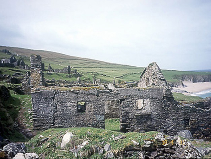 school21 mi
Explorer Tom School in Great-Blasket Island would handle a nosey neighbour by simply letting the wind do all the talking. It’s now a…
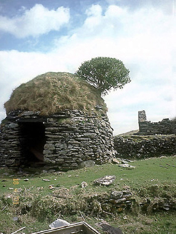 An Púicín BuíOutbuilding · 21 mi
Explorer Tom An Púicín Buí on Great Blasket would teach history by just sitting there looking round and mossy. It’s a beehive-shaped…
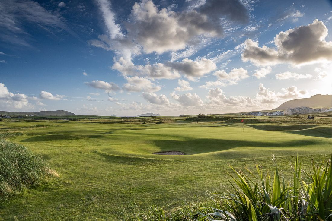 Ceann Sibeal Golf ClubGolf course · 21 mi
 Caisleán PhiaraisCastle · 21 mi
Explorer Tom Caisleán Phiarais has a serious grudge against the rain and keeps building new walls just to spite it. It’s like a…
 Ceann an DúnaHeadland · 21 mi
Explorer Tom Ceann an Dúna is stuck showing off its vertical sandstone cliffs like it’s trying to impress Ferriter's Castle right…
More archaeology and monuments in County Kerry · All of County Kerry

What do you know about this place?Tap to add a comment or ask a question