What is recorded here
On a flat landscape with rock outcrop, and at the centre of the enclosure (RO015-002001-). Rectangular grass-covered area (int. dims 24m WNW-ESE; 22.5m NNE-SSW) defined by grass-covered stone spreads (Wth 1.45-3.6m; int. H 0.1-0.2m; ext. H 0.25-1.15m) on three sides and by a scarp (H 0.8m) at S. There is no visible entrance or facing stones, but the interior has lines of NNE-SSW grave-markers. Relict field banks, visible as grass-covered stone spreads, connect it to the perimeter of the surrounding enclosure at NE, E and S.
Compiled by: Michael Moore
Date of upload: 24 August 2010
The monument record does not grant public access. Check the route and ask the landowner before entering private land.
- What survives
- Recorded monument
Places near here
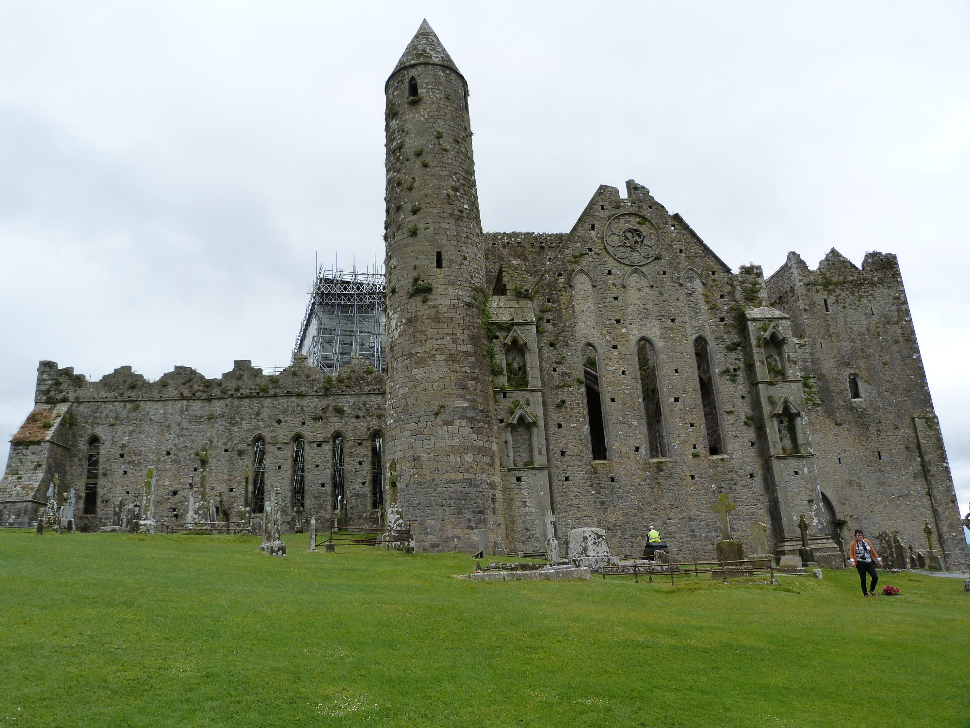 CashelArchaeological place · 16 yd
 Multivallate enclosureFairy fort / earthen ringfort · 712 yd
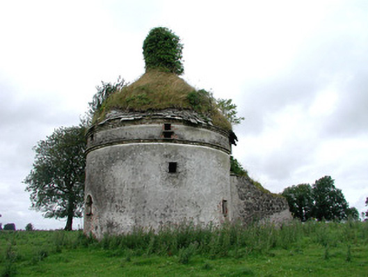 Frenchpark Housebuilding misc · 1.3 mi
 Frenchpark Ho.Castle, unclassified · 1.4 mi
 Square WoodForest · 1.5 mi
 Gray's WoodForest · 1.6 mi
 CastleBawn · 1.7 mi
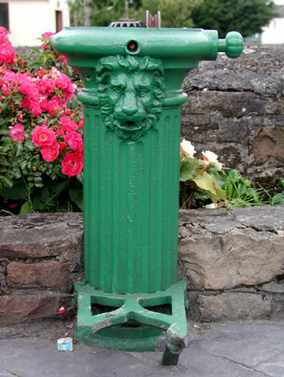 water pumpwater pump · 1.8 mi
 Bawn IslandIslet · 1.8 mi
 Rose PointHeadland · 3.5 mi
 Fairymount HillMountain / peak · 3.5 mi
 Castle PointHeadland · 4.2 mi