What is recorded here
In pastureland overlooking a turlough to the E. Shown on the 1838 edition of the OS 6-inch map as an irregularly shaped graveyard (c. 64m NW-SE; c. 53m NE-SW). A church (GA112-041----), possibly of medieval date, was roughly centrally located within it. The graveyard is delimited by low earthen banks to the W, N and E; the S edge is packed with field-clearance material. It is heavily overgrown. The only visible grave-markers are to the S of the church and they consist of numerous small plain limestone boulders, which may be part of an associated children's burial ground (GA112-041002-) (Korff and O'Connell 1985).
Compiled by: Olive Alcock
Date of upload: 3 April 2020
A local ancient tomb; wider significance not recorded.
The monument record does not grant public access. Check the route and ask the landowner before entering private land.
- What survives
- Recorded monument
Places near here
 IndicatedEnclosure · 486 yd
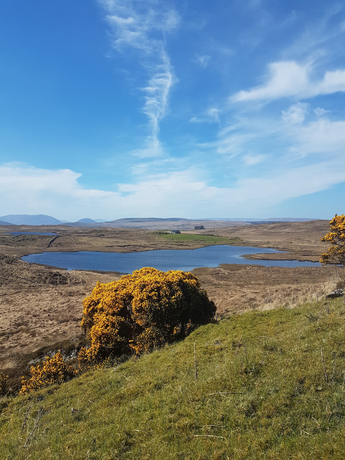 Parkaliss FortFairy fort / earthen ringfort · 593 yd
 Castle in ruinsCastle, unclassified · 1255 yd
 Rosevillahouse · 1477 yd
 kilnkiln · 1.3 mi
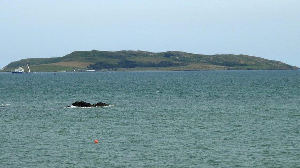 Lambs IslandIslet · 1.4 mi
 Abbey HillMountain / peak · 2.0 mi
 Bush IslandIslet · 2.1 mi
 Corcomroe AbbeyVisitor information · 2.3 mi
 Corcomroe Abbey Geopark SiteVisitor information · 2.3 mi
 Turlough HillMountain / peak · 2.5 mi
 Traught BeachBeach / strand · 2.7 mi