What is recorded here
Situated on a level landscape c. 1km from the sea. There is no trace of a church (WX007-037001-) visible at ground level within a D-shaped graveyard (dims. 58m N-S; 54m E-W) defined by an earthen bank.
Compiled by: Michael Moore
Date of upload: 15 March 2012
This remains an important historical record, but the official description says the monument is no longer visible or has been destroyed. The monument record does not grant public access. Check the route and ask the landowner before entering private land.
- What survives
- No visible remains or recorded as destroyed
Places near here
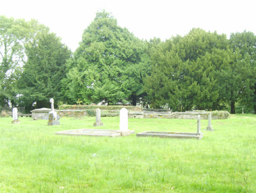 graveyard/cemeterygraveyard/cemetery · 2 yd
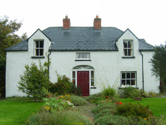 Dúnartfarm house · 491 yd
 Enclosure in BallycomcloneEnclosure · 1017 yd
 CopseFairy fort / earthen ringfort · 1734 yd
 Duffcarrig Rocks BeachBeach / strand · 1.1 mi
 Kia Ora Mini FarmHeritage attraction · 1.3 mi
 Tara HillMountain / peak · 1.5 mi
 Holm OakHolm Oak · 1.8 mi
 CastleCastle, unclassified · 1.8 mi
 Courtown WoodsWood · 1.9 mi
 Courtown Amusement CentreHeritage attraction · 2.3 mi
 Banoge HillMountain / peak · 3.0 mi