What is recorded here
Situated at the S end of a small N-S ridge overlooking the point where a W-E stretch of the River Boyne turns N c. 170m to the N. The parish church of Scurlockstown (ME037-010----) is within a subrectangular graveyard (dims c. 53m NE-SW; c. 32m NW-SE) defined by masonry walls. The cross-head (ME037-010002-) and font (ME037-010003-) are within the graveyard.
Compiled by: Michael Moore
date or upload: 10 March, 2015
The monument record does not grant public access. Check the route and ask the landowner before entering private land.
- What survives
- Recorded monument
Places near here
 Church (in Ruins)Church · 14 yd
 CastleCastle, motte · 152 yd
 Scurlogstown CastleArchaeological place · 173 yd
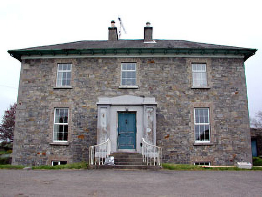 Newtown Parkhouse · 827 yd
 CrossCross, High cross (present location) · 1.1 mi
 Newtown AbbeyCathedral · 1.2 mi
 Small-leaved ElmSmall-leaved Elm · 2.8 mi
 Saints IslandForest · 2.9 mi
 MullaghMountain / peak · 7.8 mi
 Larchil Arcadian GardensHeritage attraction · 8.3 mi
 Kilgar GardensHeritage attraction · 8.3 mi
 1798 MemorialMemorial · 8.6 mi