What is recorded here
On level ground in forestry. A sub-oval enclosure (map dims. 74m E-W, 76m N-S) defined by a rubble bank (max. Wth 4m, max. H 1-1.5m) of large slabs and blocks with drystone facing on N side. The possible original entrance (Wth 2.5m) is on the SE side; modern access is through an extension on the SE side. The remains of the church (WI034-008004-) are on the SW side
Compiled by: Claire Breen
Date of upload: 26 July 2013
The monument record does not grant public access. Check the route and ask the landowner before entering private land.
- What survives
- Recorded monument
Places near here
 Font in RosahaneFont · 2 yd
 Ballinagappoge MountainMountain / peak · 1612 yd
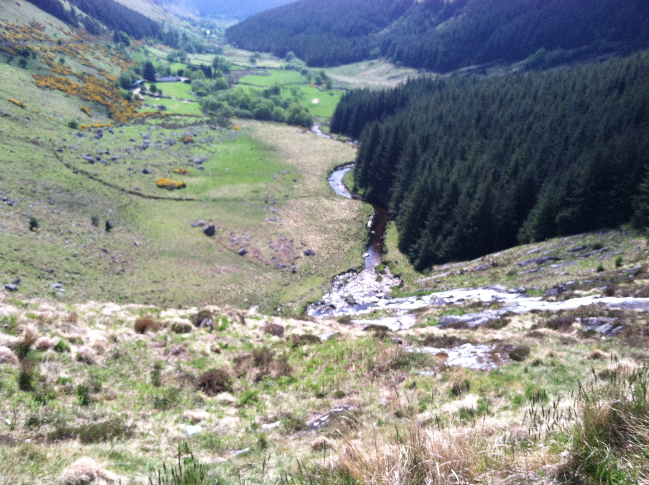 IndicatedEnclosure · 1.1 mi
 (Site of) Castle LaurenceCastle, unclassified · 1.6 mi
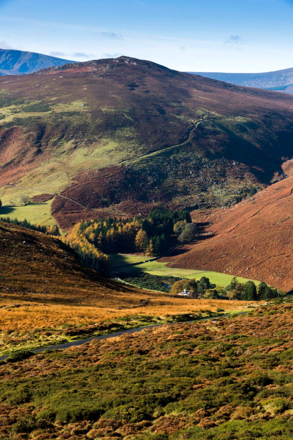 Ballycurragh HillMountain / peak · 1.9 mi
 Church in KilladuffChurch · 1.9 mi
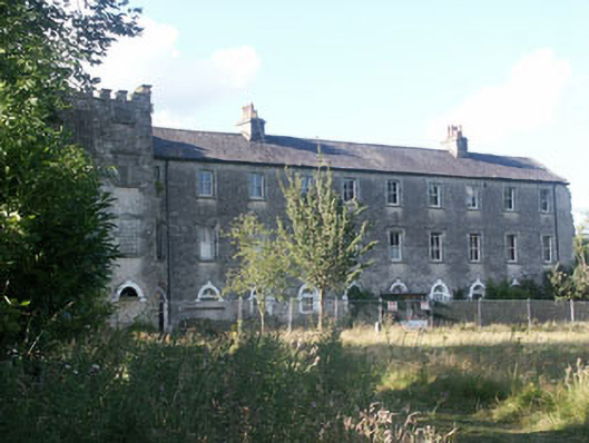 Aghavannagh Barrackbarracks · 2.2 mi
 (Site of) CastleCastle, unclassified · 3.1 mi
 Drumgoff Forest Recreation AreaForest · 3.5 mi
 The Stripped FlagsNamed rock · 3.5 mi
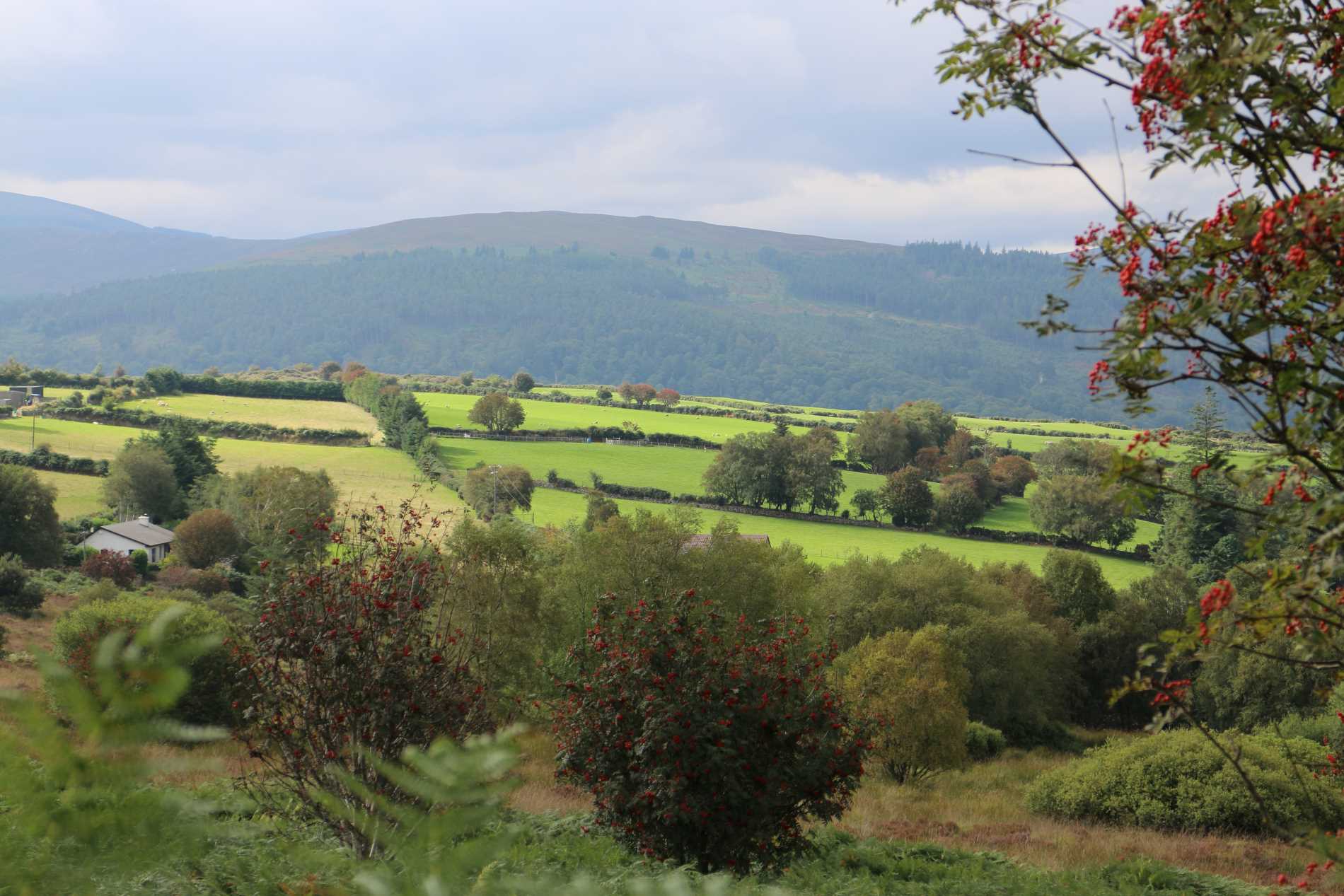 Roddenagh WoodForest · 3.5 mi
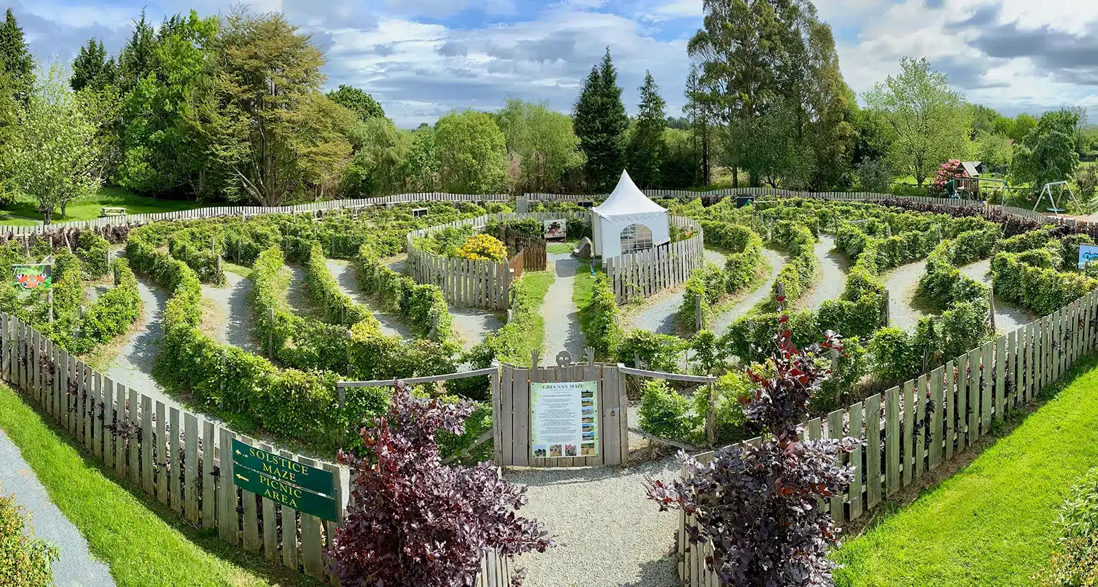 Greenan Farm Museum & MazeMuseum · 3.9 mi