What is recorded here
Situated on level ground in forestry. All that remains of the church is a subrectangular area of rubble (dims. 23m E-W; 14m N-S) with a gap representing an entrance at the S. An open area in the centre (dims. c. 10m E-W; 5.4m N-S) may represent the church interior. Situated S of the centre of an oval enclosure (dims. c. 70m NW-SE; 60m NE-SW) defined by a rubble bank (Wth 4m; H 1-1.5m) of large slabs and blocks with drystone facing on the N side. The original entrance (Wth 2.5m) is at the SE and modern access is through an extension also at the SE. A field drain (Wth 2m) runs outside the bank at the SW. The graveyard has some eighteenth-century headstones and is still in occasional use. A subrectangular font (WI034-008003-) with a slot opening on one side (Price 1959, 175) has been removed from the graveyard.
The above description is derived from the published 'Archaeological Inventory of County Wicklow' (Dublin: Stationery Office, 1997). In certain instances the entries have been revised and updated in the light of recent research.
Date of upload/revision: 26 July 2013
This remains an important historical record, but the official description says the monument is no longer visible or has been destroyed. The monument record does not grant public access. Check the route and ask the landowner before entering private land.
- What survives
- No visible remains or recorded as destroyed
Places near here
 Font in RosahaneFont · 23 yd
 Ballinagappoge MountainMountain / peak · 1618 yd
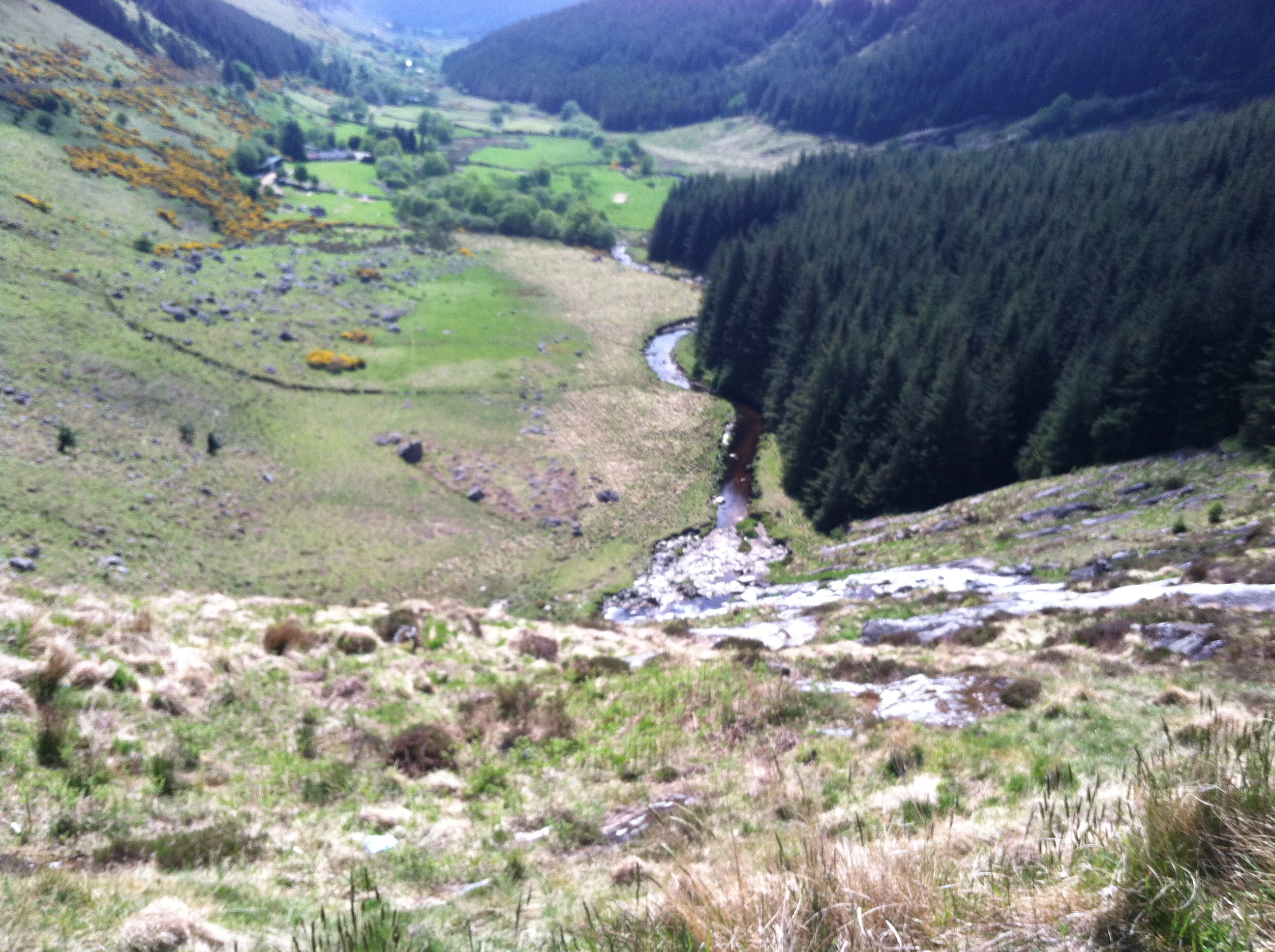 IndicatedEnclosure · 1.1 mi
 (Site of) Castle LaurenceCastle, unclassified · 1.6 mi
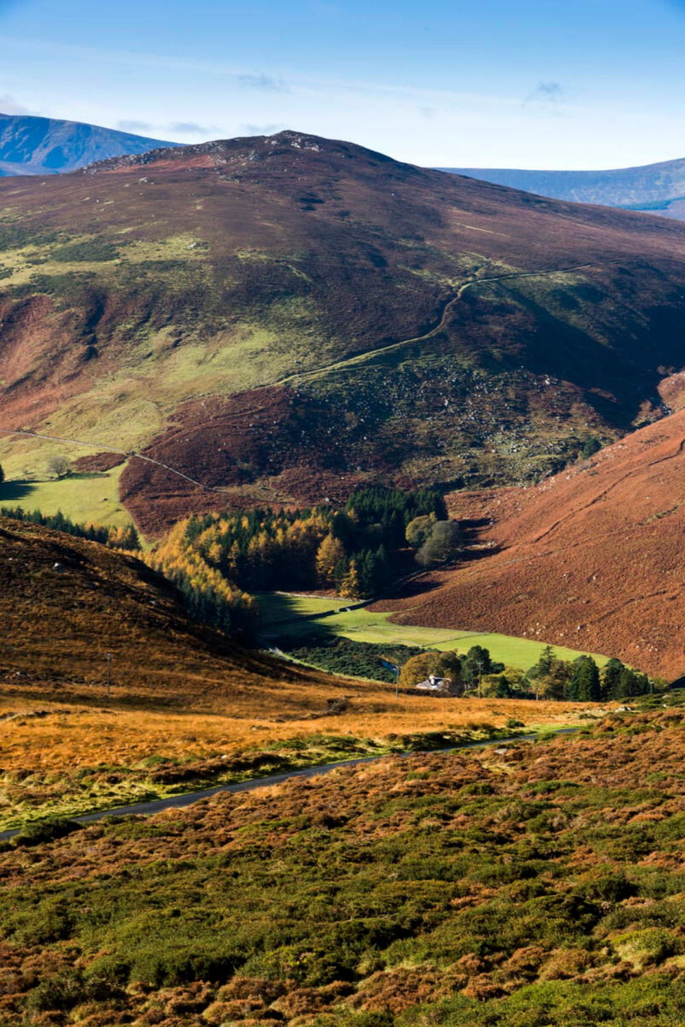 Ballycurragh HillMountain / peak · 1.8 mi
 Church in KilladuffChurch · 1.9 mi
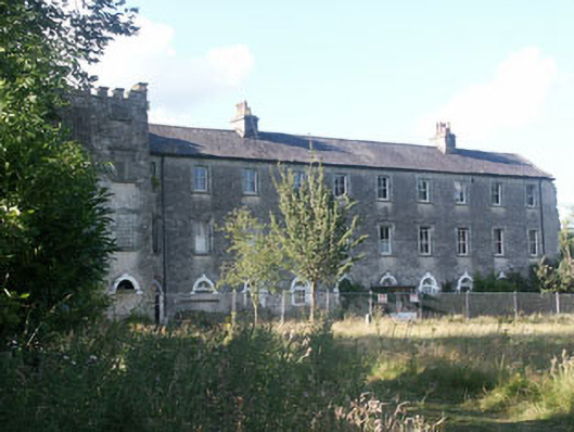 Aghavannagh Barrackbarracks · 2.2 mi
 (Site of) CastleCastle, unclassified · 3.1 mi
 Drumgoff Forest Recreation AreaForest · 3.5 mi
 The Stripped FlagsNamed rock · 3.5 mi
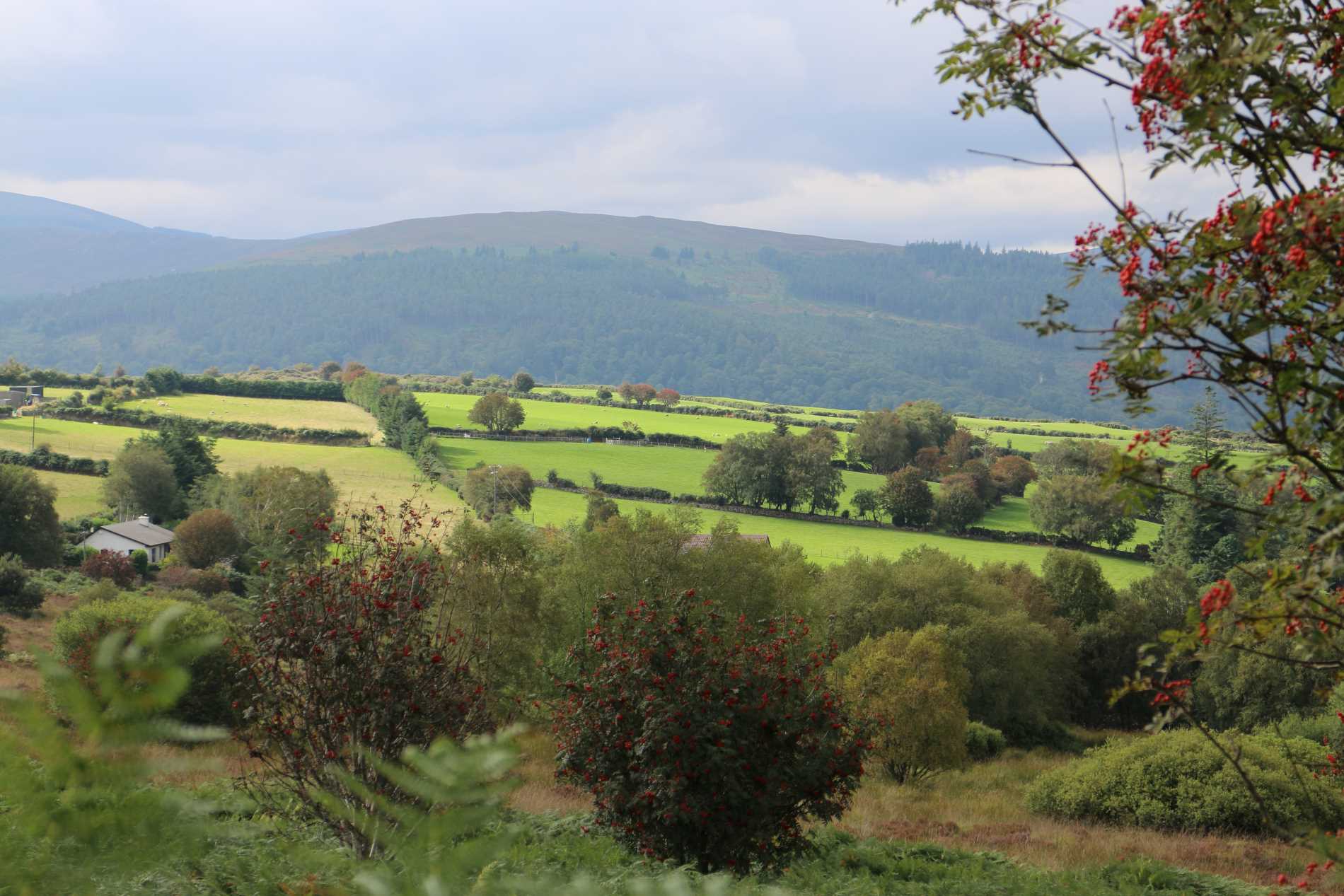 Roddenagh WoodForest · 3.5 mi
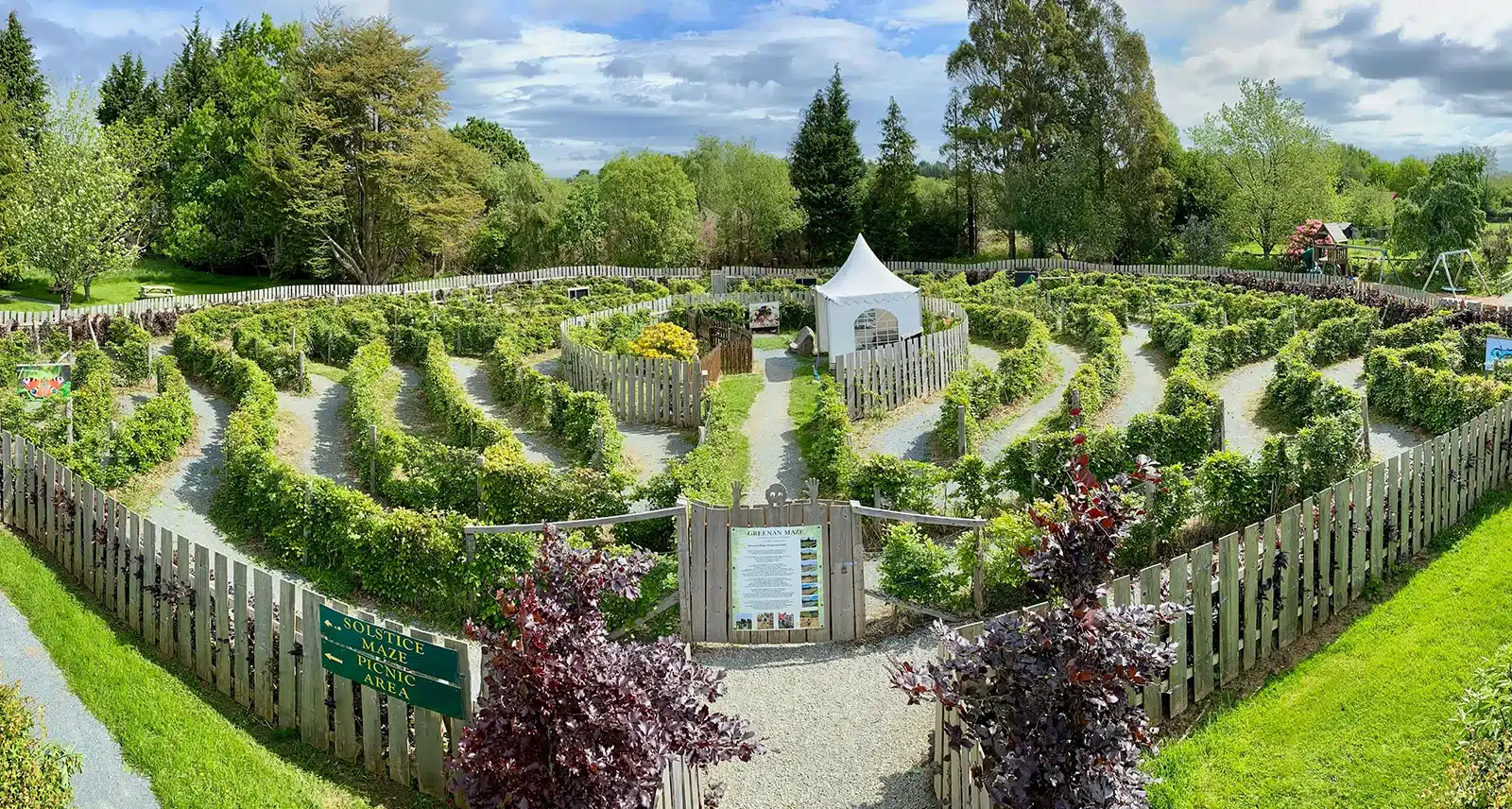 Greenan Farm Museum & MazeMuseum · 3.9 mi