What is recorded here
On a natural platform on an E-facing slope in undulating terrain with a road running along the S and W boundary. The medieval church of Redcity (TS070-041001-) is c. 30m to the W, on the other side of the public road. The graveyard is roughly rectangular (dims. c. 36m N-S; c. 61m E-W) enclosed by a stone wall. The headstones appear to date from the late 18th to the 20th century, the latest noted dating to 1991. Within the graveyard there is a crude sandstone headstone (H 1.26m; L 0.44m; D 0.19m) which tapers towards the top and bears no inscription.
Compiled by: Jean Farrelly
Date of upload: 26 August 2011
The monument record does not grant public access. Check the route and ask the landowner before entering private land.
- What survives
- Recorded monument
Places near here
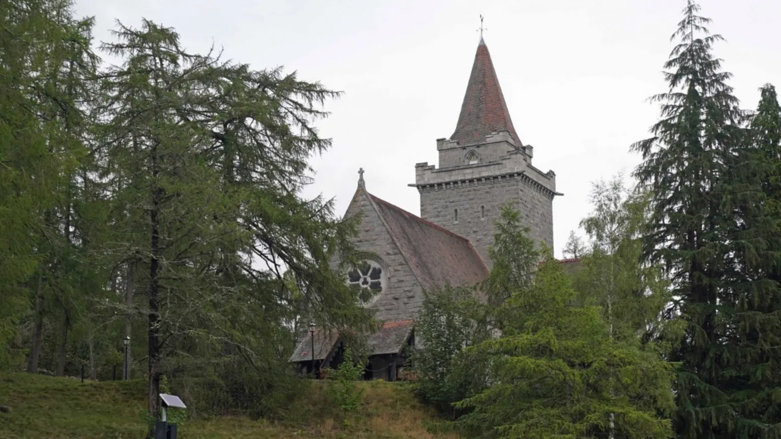 Redcity Church (in ruins)Church · 80 yd
 Barrettstown CastleCastle · 1050 yd
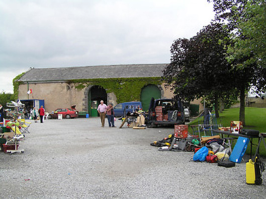 Fethard Folk Farm and Transport Museumstore/warehouse · 1141 yd
 Enclosure in RedcityEnclosure · 1157 yd
 Settlement desertedSettlement deserted, medieval · 1190 yd
 European YewEuropean Yew · 1683 yd
 Edmond's CastleCastle · 1752 yd
 East GateMemorial · 1.1 mi
 Grove WoodForest · 1.6 mi
 Kilknockan HillMountain / peak · 1.8 mi
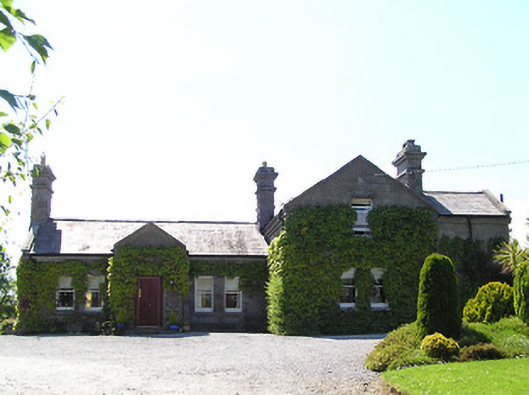 Rockspringrailway station · 1152 yd
 Redcity FortFairy fort / earthen ringfort · 1195 yd