
What is recorded here
In level pasture, just W of a steep slope overlooking the Poulacarran Valley to the E. Indicated and labelled 'Grave Yard' on the 1842 and 1920 eds. of the OS 6-inch map. This well-maintained, sub-rectangular graveyard (c. 37m ENE-WSW; c. 30m NNW-SSE), is enclosed along the E, S and W by a double-faced drystone wall…
Read the whole record
From the National Monuments Service (Archaeological Survey of Ireland) record CL009-075002
Places near here
Photo credits
- Maker not stated on source page, en.wikipedia.org
- Maker not stated on source page, www.pinterest.com
- Maker not stated on source page, walkingholidayireland.com
- Maker not stated on source page, www.letsgoireland.com
- Aiden Clarke, Wikimedia Commons · CC BY-SA 2.0
- Maker not stated on source page, commons.wikimedia.org
- Maker not stated on source page, www.flickr.com
- Maker not stated on source page, nigelborrington.com
- Oliver Dixon, Wikimedia Commons · CC BY-SA 2.0
- Roger Diel, Geograph · CC BY-SA 2.0
 Fairy fort / stone ringfort in IskancullinFairy fort / stone ringfort · 416 yd
Explorer Tom Fairy fort / stone ringfort in Iskancullin is playing hide-and-seek with me. A tale from 1846 says an earl built it…
 Cist in IskancullinCist · 1030 yd
Explorer Tom Cist in Iskancullin is hiding inside the cairn like a secret in a sock drawer. It’s filled with stones, so you might…
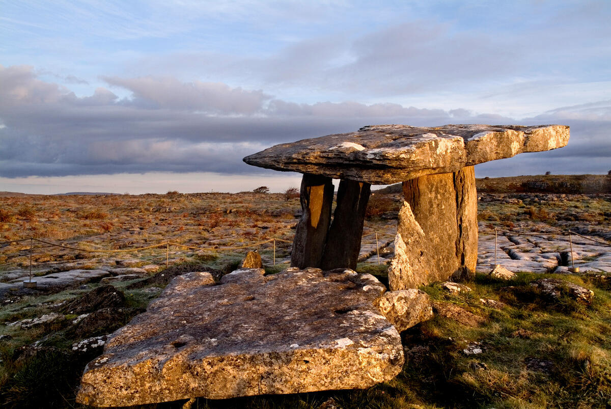 Cist in Noughaval (burren By.)Cist · 1113 yd
Explorer Tom Noughaval Cist has two parallel slabs that look like they’re waiting for a third one to complete their very boring…
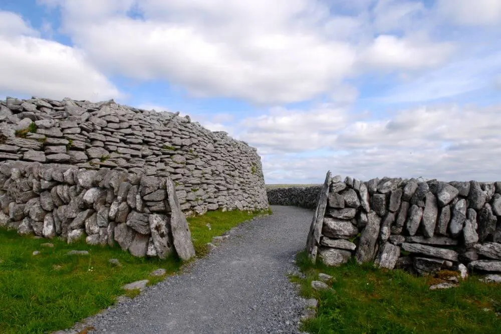 Fairy fort / stone ringfort in Noughaval (burren By.)Fairy fort / stone ringfort · 1206 yd
Explorer Tom Fairy fort / stone ringfort in Noughaval would teach history by yelling at you for forgetting dates. It’s rectangular…
 Poulawack CairnArchaeological place · 1503 yd
Explorer Tom Poulawack Cairn is the middle of a massive feud between two families over who owns the best view. They’ve been arguing…
 Wedge tomb in Ballyganner SouthWedge tomb · 1.0 mi
Explorer Tom The priest who lost a bet at this Wedge tomb probably paid with his last pair of shoes. It’s a rectangular chamber on a…
 Fairy fort / stone ringfort in Ballyganner NorthFairy fort / stone ringfort · 1.2 mi
Explorer Tom Fairy fort / stone ringfort in Ballyganner North is a circular cashel that refuses to be visited by any bishop who asks…
Cist in KilcorneyCist · 1.2 miExplorer Tom Cist in Kilcorney has pointed stones, which is weird because cists aren't supposed to be pointy. It’s hiding a scandal…
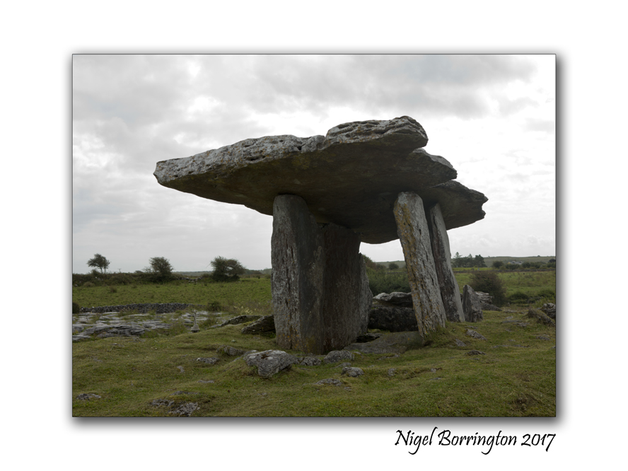 Megalithic tomb in KilcorneyMegalithic tomb · 1.2 mi
Explorer Tom Megalithic tomb in Kilcorney hates nosey neighbours and has arranged its slabs specifically so you can’t see inside…
 Noughaval Church (in ruins)Church · 2.0 mi
Explorer Tom Noughaval Church is being picked on by the wind because it stands right on the edge of a slope, which means it gets…
 Ballyganner CastleCastle · 2.1 mi
Explorer Tom Ballyganner Castle’s builder was probably thinking about what to have for dinner while laying these stones. He wasn’t…
Ballyganner Castle (in ruins)Castle, tower house · 2.1 miExplorer Tom Ballyganner Castle in Ballyganner South is stuck in a feud with the rain, and the weather is winning badly. It’s…
More archaeology and monuments in County Clare · All of County Clare

What do you know about this place?Tap to add a comment or ask a question