What is recorded here
Grave Yard (1838). is a graveyard in Killure, County Sligo, Ireland. The subrectangular site measured roughly seventy-five metres north-south and forty metres east-west on the 1838 Ordnance Survey map, but no evident remains exist today. A possible ecclesiastical enclosure and church lie immediately to the west.
There are no evident remains of the subrectangular graveyard (c. 75m N-S; c. 40m E-W) indicated on the 1838 OS 6-inch map. A possible ecclesiastical enclosure (SL036-033002-) and church (SL036-033003-) lie immediately to the W.
The above description is derived from the published 'Archaeological Inventory of County Sligo' compiled by Ursula Egan, Elizabeth Byrne, Mary Sleeman with Sheila Ronan and Connie Murphy (Dublin Stationery Office, 2005).
Date of upload: 18 January 2008
The monument record does not grant public access. Check the route and ask the landowner before entering private land.
- What survives
- Recorded monument
Places near here
 LisleaFairy fort / earthen ringfort · 976 yd
 Indicated (1838).Fairy fort / earthen ringfort · 1202 yd
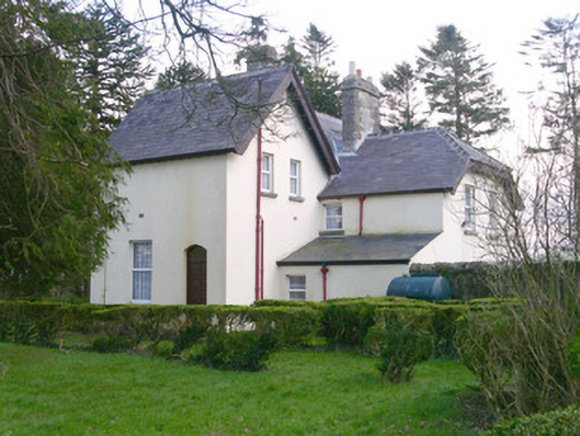 Shooting Lodgehunting/fishing lodge · 1212 yd
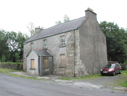 garda station/constabulary barracksgarda station/constabulary barracks · 1236 yd
 Castle Carragh in RuinsCastle, unclassified · 2.1 mi
 Castle (in Ruins)Castle, tower house · 2.1 mi
 Lough Talt TrailVisitor information · 3.4 mi
 Carrick WoodWood · 3.5 mi
 New WoodWood · 4.0 mi
 KnockasliggaunMountain / peak · 4.0 mi
 Mass RockNamed rock · 4.3 mi
 Largan HillMountain / peak · 4.5 mi