What is recorded here
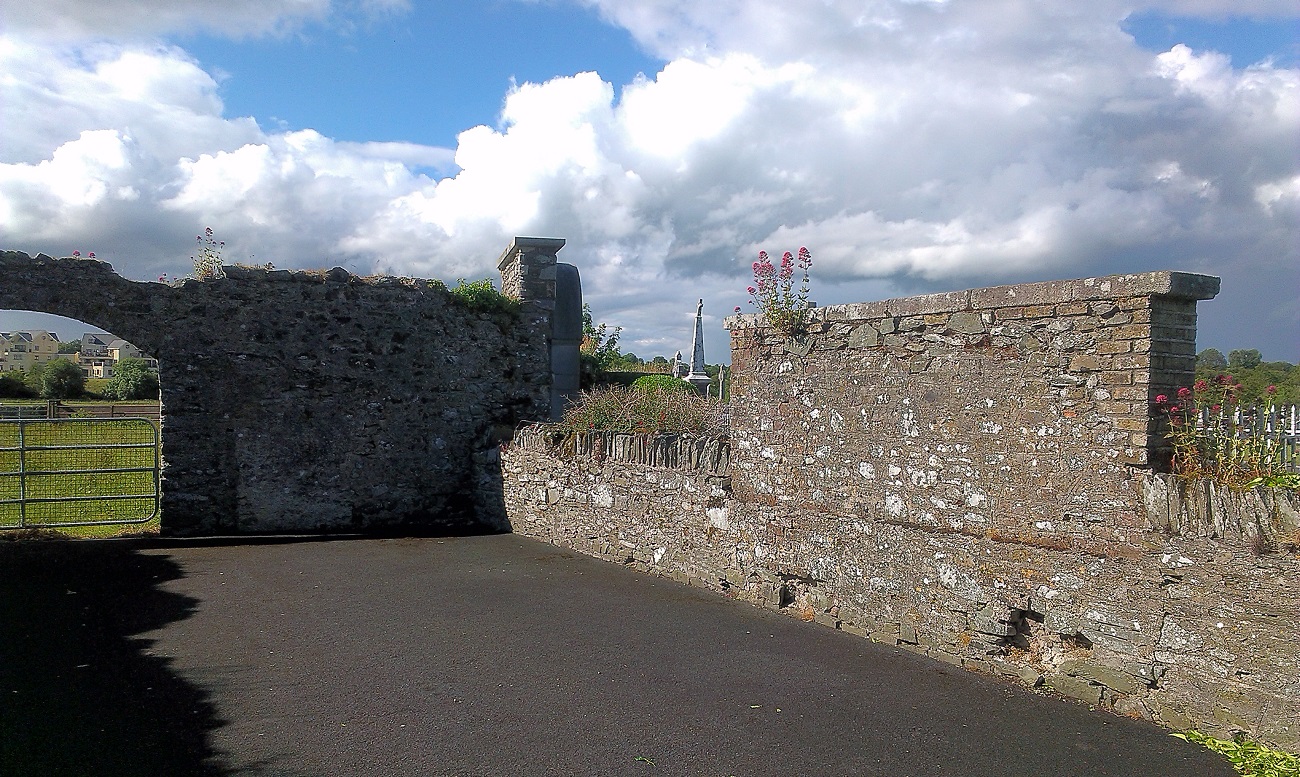
On a moderately steep-sided hilltop (OD c. 150m), on the site of an Early Christian monastery (KD028-049001-) and later, medieval borough (KD028-049----). A subrectangular area (c. 75m E-W; c. 40m N-S) is enclosed by a stone wall and accessed through a gate at the NW corner. Legible grave markers date from the 18th-century to the present. The interior contains a ruined medieval church (KD028-049005-), a round tower (KD028-049006-), and fragments of three High crosses (KD028-049002-, KD028-049003- and KD028-049004-) (Bradley et al. (1986 vol. 4, 391)
Compiled by: Gearóid Conroy
Date of upload: 17 May 2013
The monument record does not grant public access. Check the route and ask the landowner before entering private land.
- What survives
- Recorded monument
Places near here
 Round TowerRound tower · 12 yd
 Church (in Ruins)Church · 12 yd
 Stone CrossesCross, High cross · 20 yd
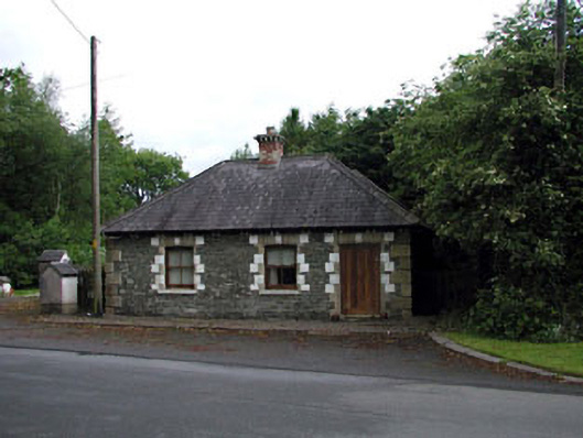 Sunnyhill Housegate lodge · 1.2 mi
 Castlefish (in Ruins)Castle, unclassified · 1.4 mi
 Castle in RuinsCastle, tower house · 1.5 mi
 Coillte ForestForest · 1.5 mi
 1798 memorial stoneMonument · 1.8 mi
 New Abbey WoodsWood · 1.9 mi
 Newbridge SilverwareMuseum · 4.9 mi
 Battle of Kilrushbattle · 5.3 mi
 Gorden Bennet Race memorialMemorial · 8.6 mi