What is recorded here
Adjoining Oldconnell House and buildings to the E, with a fine motte (KD023-012----) visible c. 100m to the SW. A roughly trapezoidal shaped area (c. 55m E-W; c. 48m N-S) is enclosed by a roughly coursed stone wall (H c. 1.5m) on W and N, modern buildings on E, but is open to the S along which a path runs. An earthen bank runs inside the N boundary wall. The interior is higher than the immediately surrounding area and contains the foundation walls of a ruined church (KD023-011----) Table tombs, slabs and headstones mark burials from the 18th-20th centuries. Abutting the graveyard at SW is a small area enclosed by a stone wall with entrance gate and cross at S. The interior appears to be featureless. (http://kildare.co/Graveyard-Details.asp?ID=K133 Last accessed 23 May 2012)
Compiled by: Gearóid Conroy
Date of upload: 23 May 2012
Medieval burial enclosure, likely 12th to 16th century. Its association with a motte suggests a defensive or manorial context, indicating local aristocratic or ecclesiastical significance.
The monument record does not grant public access. Check the route and ask the landowner before entering private land.
- What survives
- Recorded monument
Places near here
 Church in RuinsChurch · 7 yd
 Font in OldconnellFont · 122 yd
 TumulusCastle, motte and bailey · 200 yd
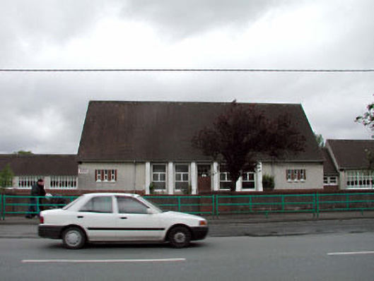 Saint Conleth's and Saint Mary's National Schoolschool · 900 yd
 Sarsfield Castle (Site of)Castle, unclassified · 1355 yd
 Enclosure in PiercetownEnclosure · 1622 yd
 Newbridge SilverwareMuseum · 1.1 mi
 Pollardstown Fen Nature ReserveNature reserve · 2.6 mi
 ElderElder · 4.0 mi
 Hill of AllenMountain / peak · 4.2 mi
 Grand Canal WayVisitor information · 5.6 mi
 Bithia Mary CrokerMemorial · 9.0 mi