What is recorded here
Situated on a little E-W rise on the floor of Glencar valley with a small E-W stream c. 70m to the N. The parish church of Killasnet (LE007-063001-) is within a subrectangular graveyard (dims c. 50m E-W; c. 35m N-S) defined by earthen field banks.
Compiled by: Michael Moore
Date of upload: 25 January, 2016
The monument record does not grant public access. Check the route and ask the landowner before entering private land.
- What survives
- Recorded monument
Places near here
 Church (in Ruins)Church · 10 yd
 Not inidcatedEnclosure · 684 yd
 Castle CarCastle · 1155 yd
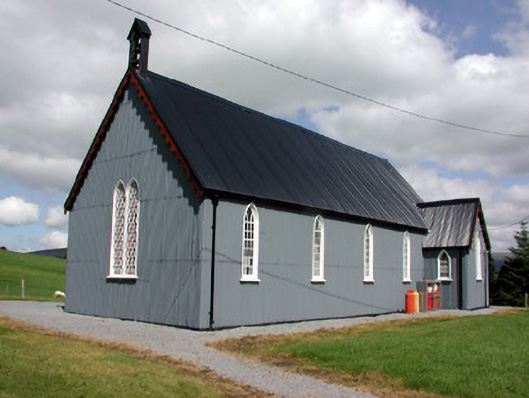 Lurganboy Church (Killasnet)church/chapel · 1398 yd
 Old Barrack YardBastioned fort · 1407 yd
 Longhill WoodForest · 1.0 mi
 Ashisland WoodForest · 1.2 mi
 BenboMountain / peak · 2.0 mi
 Giants RockNamed rock · 2.3 mi
 Kilroosk RockNamed rock · 2.7 mi
 The Giants GraveArchaeological place · 3.9 mi
 Agow TopMountain / peak · 4.0 mi