What is recorded here
On low-lying land in the centre of Gleann an Mháma and NE of the Joyce River. Indicated on 1st ed. of OS 6-inch map as an unenclosed irregularly shaped graveyard (c. 45m by c. 30m). Now much enlarged, rectangular and enclosed. It is divided into two parts: the larger W part containing modern graves, and E part containing older 19th-C graveslabs and plain headstones, two of which display Latin crosses.
The above description is derived from the published 'Archaeological Inventory of County Galway Vol. I - West Galway'. Compiled by Paul Gosling (Dublin: Stationery Office, 1993).
Date of upload: 05 August 2010
The monument record does not grant public access. Check the route and ask the landowner before entering private land.
- What survives
- Recorded monument
Places near here
 Lugnabrick SW TopMountain / peak · 1.1 mi
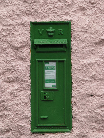 post boxpost box · 1.2 mi
 Toberfeheen Holy WellHoly well · 1.2 mi
 Bunnacunneen SE TopMountain / peak · 1.3 mi
 Eaglais Breith Chríost [Catholic Church of the Nativity]church/chapel · 1.3 mi
 Enclosure in An ChorrEnclosure · 1.9 mi
 Joyce Country SheepdogsHeritage attraction · 3.7 mi
 CastlekirkCastle · 3.9 mi
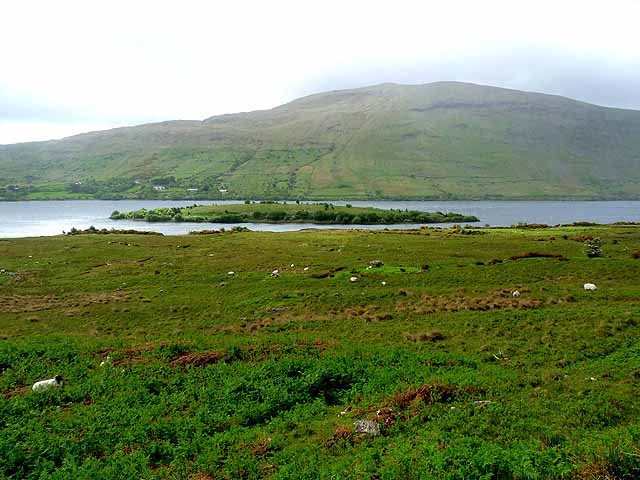 Earls IslandIslet · 4.2 mi
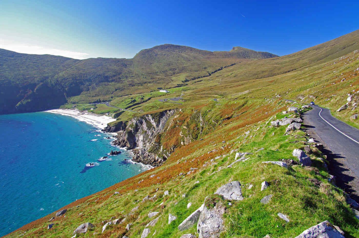 Red IslandIslet · 4.3 mi
 WaterfallHeritage attraction · 5.5 mi
 Aasleagh WaterfallWaterfall · 7.2 mi