What is recorded here
Situated on a knoll overlooking Drumsnat Lough (max. dims c. 220m NE-SW; c. 150m NW-SE), which is c. 60m to the NE. There is no evidence now of the parish church of Drumsnat (MO013-002003-) within a subrectangular graveyard (dims c. 60m E-W; c. 28-35m N-S) defined by earthen banks or scarps with hedges. There is a gate and masonry piers at the E angle where a short lane (L c. 20m) leads NE to a public road. Architectural fragments (MO013-002002-) from the graveyard are now in storage with Monaghan County Museum. A disc-headed cross (MO013-002001-) is within the graveyard and a mass-rock (MO013-002005-) is outside it to one side of the entrance. The inscriptions on the headstones dating from 1719 have been recorded (Ó Dubhthaigh 1966, 98-103), but the earliest noted in a modern survey by Irish Graveyard Surveys, which is displayed by the entrance, is 1705.
Compiled by: Michael Moore
See the attached images of the mass-rock _01, _02
See the attached view of the graveyard from the NE _03
Date of upload: 30 November 2016
A local ancient tomb; wider significance not recorded.
The monument record does not grant public access. Check the route and ask the landowner before entering private land.
- What survives
- Recorded monument
Places near here
 Church in Mullanacross (monaghan By.)Church · 14 yd
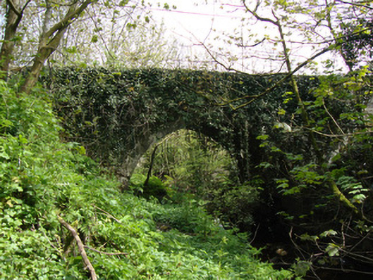 Drumsnat Bridgebridge · 117 yd
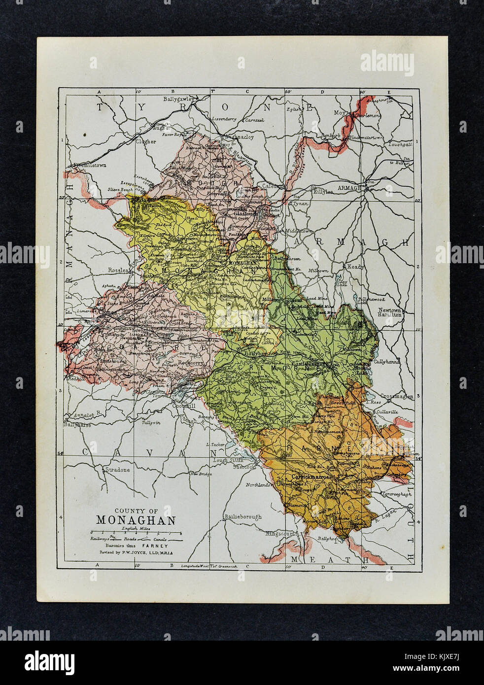 2Archaeological place · 1092 yd
 1Archaeological place · 1405 yd
 Rough HillMountain / peak · 1.5 mi
 Hazel WoodWood · 1.9 mi
 Dagda's CauldronHeritage attraction · 2.5 mi
 Druid GiantHeritage attraction · 2.6 mi
 Lisarrilly HillMountain / peak · 3.1 mi
 Roosky Castle (Site of)Castle, ringwork · 3.3 mi
 Jaundice WellSpring · 3.8 mi
 Bawn in Roosky (monaghan By., Monaghan Par.)Bawn · 4.3 mi