What is recorded here
Situated on a gradual NE-facing slope in undulating terrain, on the N side of a roughly square-shaped graveyard within the medieval borough of Moyaliff (TN046-006). Listed in the ecclesiastical taxation of the Diocese of Cashel in 1302 (CDI, vol. 5, 280). The church (TN046-006001) is composed of roughly coursed limestone and sandstone with an external base-batter. It is entered through a pointed sandstone doorway with external chamfer at the W end of the S wall with a pointed relieving arch above the doorhead. Architectural fragments have been reused as grave-markers including a window jamb outside the S wall of the church.
Compiled by: Caimin O'Brien.
Date of upload: 22 September 2008
The monument record does not grant public access. Check the route and ask the landowner before entering private land.
- What survives
- Recorded monument
Places near here
 Moyaliff Housecountry house · 391 yd
 MoatCastle, motte · 455 yd
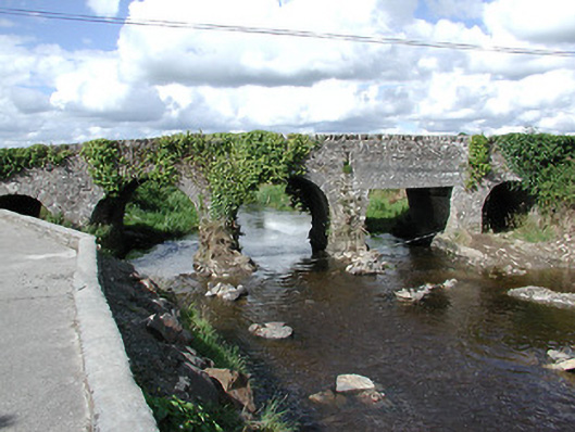 Ballyoughter Bridgebridge · 741 yd
 Coolkill Church (site of)Church · 1.1 mi
 Enclosure in Coolkill (moyaliff Par.)Enclosure · 1.1 mi
 CastleCastle, ringwork · 1.2 mi
 KnockaneMountain / peak · 2.8 mi
 Cormackstown Heritage CentreMuseum · 2.8 mi
 Drum WoodWood · 2.9 mi
 Pallas HillMountain / peak · 3.2 mi
 European ashEuropean ash · 5.4 mi
 Hore AbbeyHeritage attraction · 9.6 mi