What is recorded here
In pasture, on top of a low rise. An irregularly shaped area (dims. c. 40m E-W; c. 38m N-S) defined by an 18th/19th century wall, with cement rendering on ithe inner face and with vertical coping visible in places, and an entrance gate at the SW. There is a level area where the church (TS063-023001-) is located off-centre to N. The graveyard is defined by steep scarp (Wth 4.3m; H 1.35m) c. E-S-SSW which is located c. 2.5m within the enclosing wall. Various 19th and 20th century headstones are concentrated S of the church, with occasional headstones to E, a few to N and a small concentration to W of church. A rectangular structure (dims. 10m E-W; c. 6m N-S) adjoins the church, off-centre to E on the N side. It is defined by the remains of a low, sod-covered wall (Wth at top 0.5m; total Wth 1.75m; int. H 0.95m; ext. H 1.3m) with a sunken interior. According to local tradition this is a famine burial plot. The earliest headstone, Cody 1770, is located within church.
Compiled by: Jean Farrelly
Date of revised upload: 17 April 2012
The monument record does not grant public access. Check the route and ask the landowner before entering private land.
- What survives
- Recorded monument
Places near here
 Modeshil Church (in ruins)Church · 6 yd
 Modeshil Castle (in ruins)Castle · 45 yd
 Crannlaght TreeRitual site, holy tree/bush · 724 yd
 Enclosure in Jamestown (modeshil Par.)Enclosure · 1451 yd
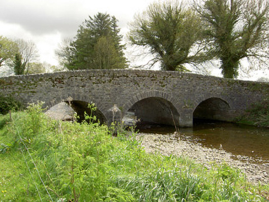 Islands Bridgebridge · 1.4 mi
 Pedunculate OakPedunculate Oak · 1.8 mi
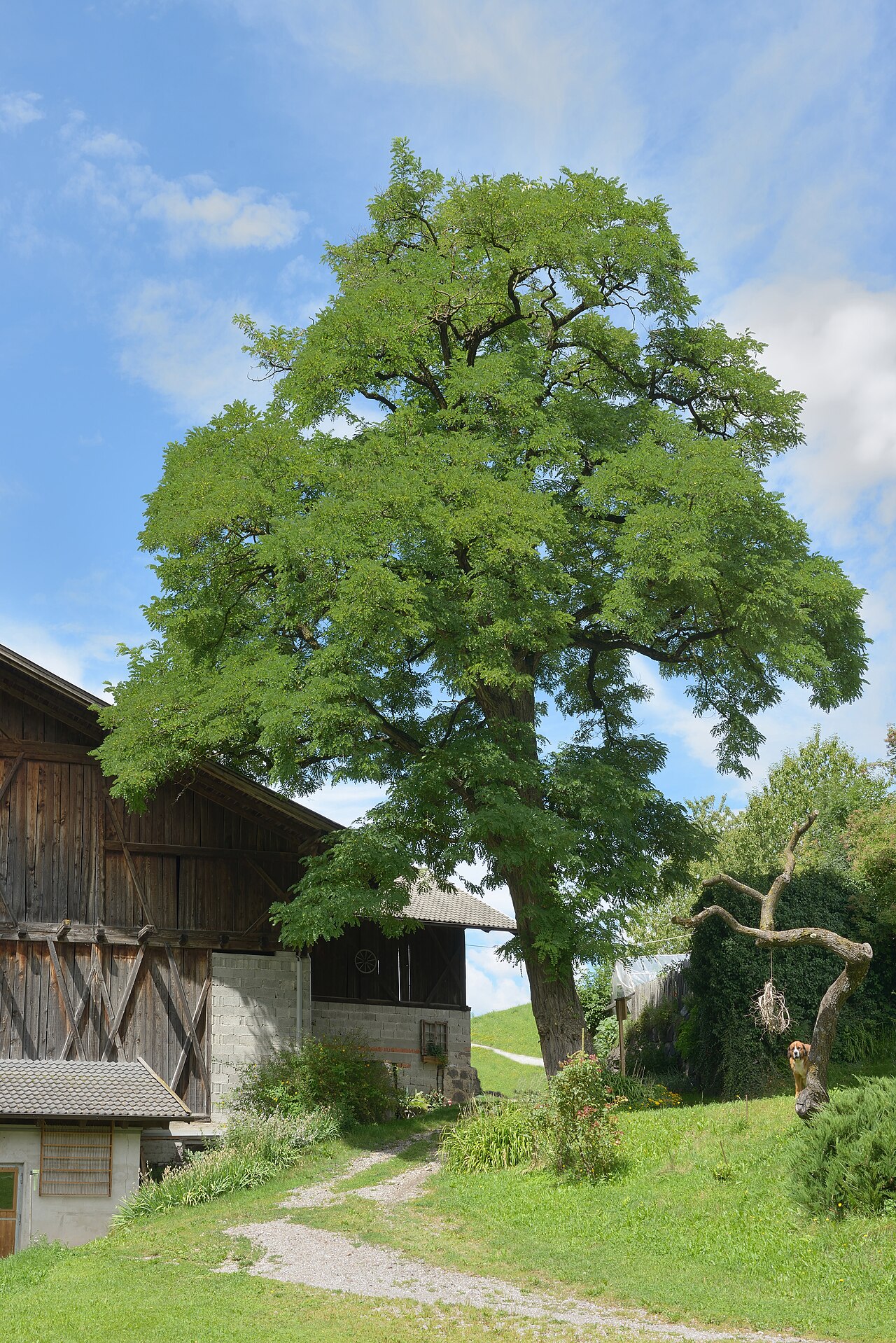 Black LocustBlack Locust · 1.8 mi
 St. Johns Monastery (in ruins)Castle, hall-house · 2.2 mi
 Edmund Rice Heritage CentreMuseum · 3.6 mi
 Callan Co-operative Agricultural & Dairy Society Ltd.Memorial · 3.7 mi
 Local LifeVisitor information · 3.8 mi
 Green StreetVisitor information · 3.8 mi