What is recorded here
Situated on a rise in a gently undulating landscape, it is known locally as Kilglass burial ground. At the Suppression in 1540 the abbey of Clonard (ME047-007----) owned 60 acres at Kyleclass but there is no mention of a church (White 1943, 310). In 1641 110 acres at Longwood were owned by Nichols Plunket of Longwood, and on the premises were a castle, a mill and a weir but, there is no mention of a church (Simington 1940, 192). A graveyard is depicted on Larkin’s map (1812) and a rectangular enclosure described as a graveyard is depicted on the 1836 and 1912 editions of the OS 6-inch map. This is a raised rectangular area (dims c. 53m NE-SW; c. 30m NW-SE; H c. 2.4-2.6m) retained by masonry walls (H 1-1.4m). It contains headstones dating from 1724 to the 1950s, including the grave of Tomás O hAllamain, a volunteer who died in Dublin at Easter 1916, but there is no evidence that there was ever a church here and there is no record of one.
Compiled by: Michael Moore
Date of upload: 13 August 2019
The monument record does not grant public access. Check the route and ask the landowner before entering private land.
- What survives
- Recorded monument
Places near here
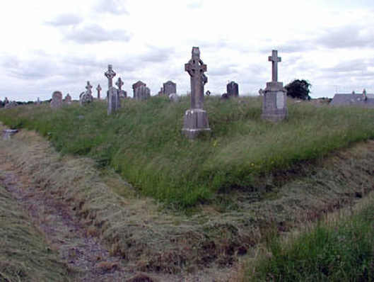 graveyard/cemeterygraveyard/cemetery · 2 yd
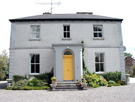 Kilglass Househouse · 237 yd
 Enclosure in MoyvallyEnclosure · 1756 yd
 Concentric enclosure in ClonguiffinConcentric enclosure · 1.3 mi
 Site of CastleCastle, unclassified · 1.8 mi
 Common LimeCommon Lime · 2.2 mi
 European BeechEuropean Beech · 2.2 mi
 Donore CastleCastle · 2.6 mi
 Croppies' GraveMemorial · 2.7 mi
 The Grill ShackHeritage attraction · 9.3 mi
 Candle HillMountain / peak · 19 mi
 Saint Finian's WellSpring · 21 mi