What is recorded here
In improved pasture, enclosed from same by rubble stone wall. Rectangular area (dims. c. 60m N-S; c. 50m E-W) defined by rubble stone wall pierced by entrance in E-end, N-side. Existing early 19th century church within, off-centre to N enclosed by 19th century gravestones. Occassional late 18th century headstones scattered amongst 19th and 20th century headstones across open graveyard area to S. Earliest noted is Thomas Bourke 1784. Low, uninscribed gravemarkers are frequent throughout. Chest tombs to E of church and table tomb on stone spheres to W of same. Mausoleum with double pitched roof at W. Possible church (TS061-070----) within. Possible foundations of a small structure to S of existing church.
Compiled by: Jean Farrelly
Date of upload: 26 August 2011
The monument record does not grant public access. Check the route and ask the landowner before entering private land.
- What survives
- Recorded monument
Places near here
 Church in MagorbanChurch · 1 yd
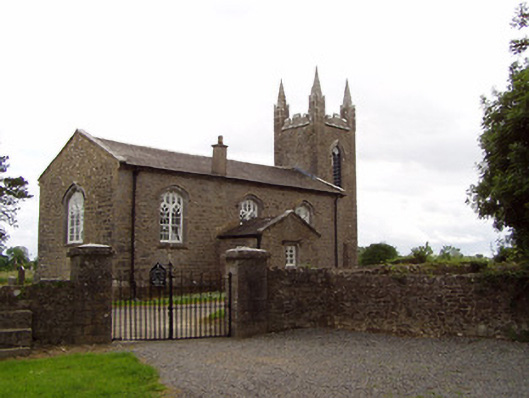 Church of the Holy Spirit (Magorban)church/chapel · 17 yd
 CastleCastle, ringwork · 189 yd
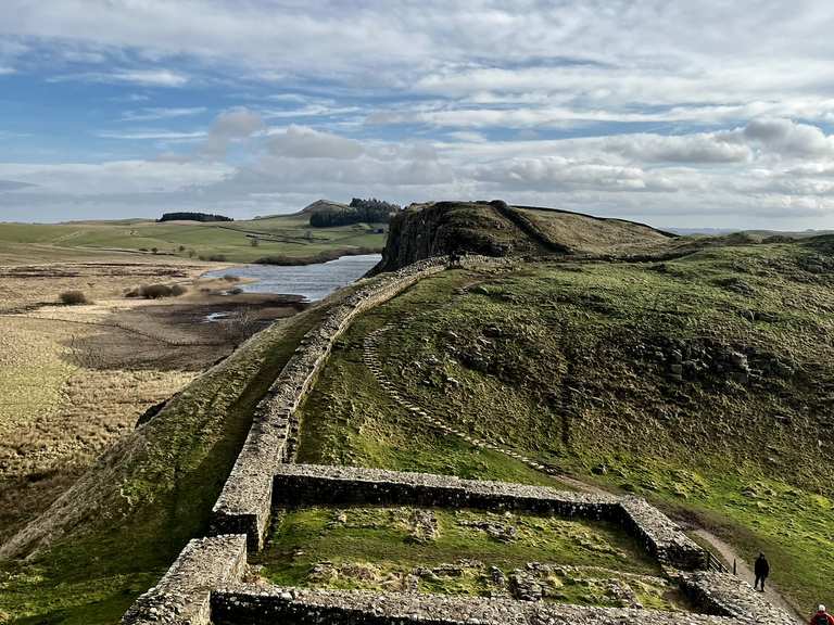 Moandoolish fortFairy fort / earthen ringfort · 802 yd
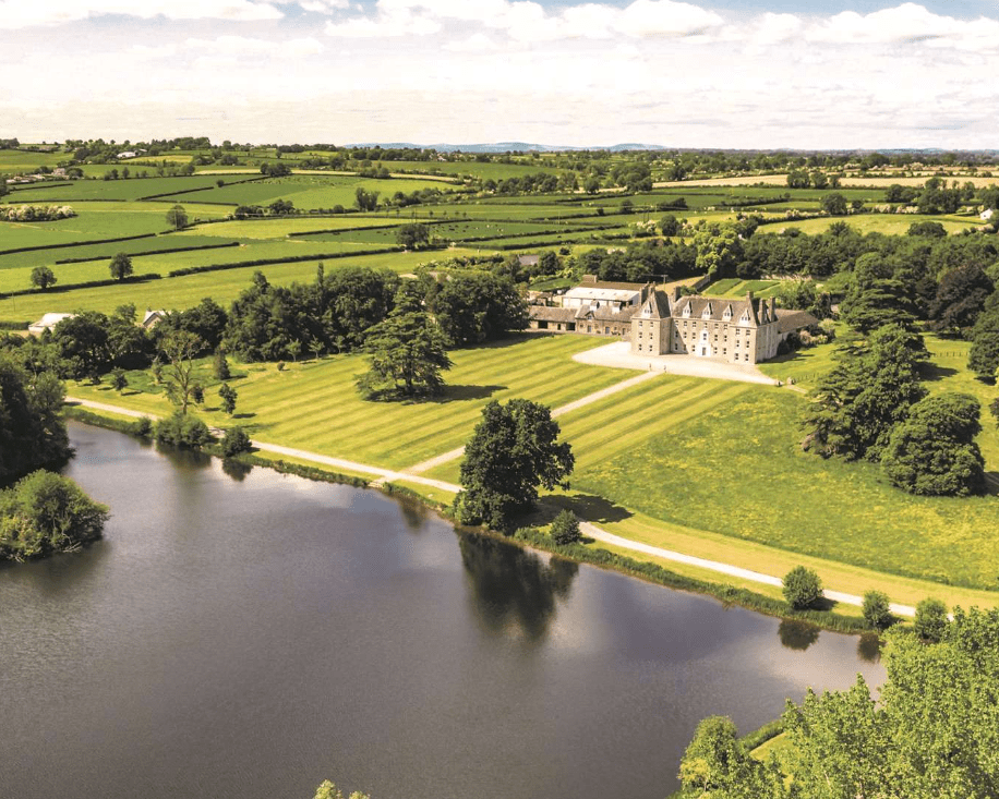 Enclosure in MagorbanEnclosure · 813 yd
 Bawn in Ballyvadin (magorban Par.)Bawn · 1.1 mi
 Taylor's WoodWood · 2.7 mi
 Noan WoodWood · 2.9 mi
 Ballinure HillMountain / peak · 3.1 mi
 Kilknockan HillMountain / peak · 3.8 mi
 East GateMemorial · 4.5 mi
 Athassel PrioryHeritage attraction · 9.9 mi