What is recorded here
In flat terrain with a stream running N-S 50m to the E, in Ivowen valley, under tillage. A graveyard is indicated on the 1st (1840) ed. OS 6-inch map as roughly rectangular area delineated by a dashed line, suggesting it was unenclosed. The church (TS079-014----), which is no longer visible, was located along the N boundary of the graveyard towards the W end. Neither the church or graveyard are visible at ground level, however, an area (dims. 38m x 45m) occupied by the former church has been left untilled, though it is not fenced off.
Compiled by: Jean Farrelly
Date of upload: 26 August 2011
The monument record does not grant public access. Check the route and ask the landowner before entering private land.
- What survives
- Recorded monument
Places near here
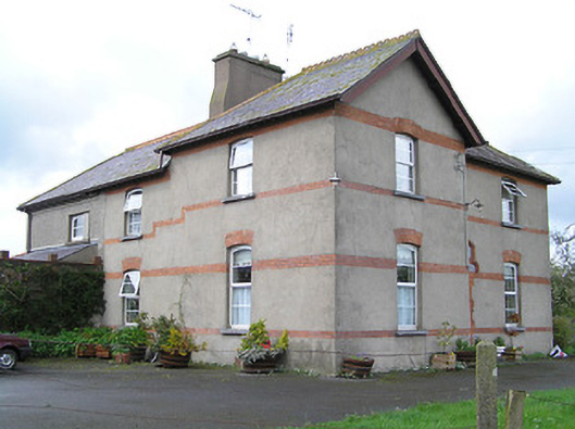 Ballyneill Castlehouse · 1085 yd
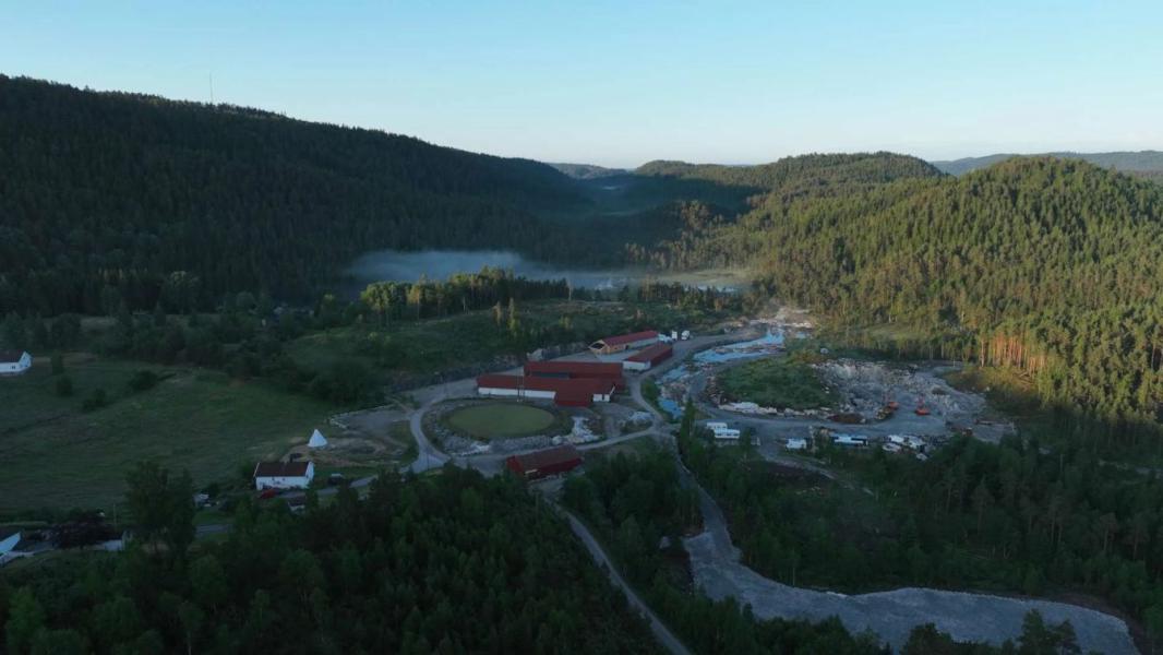 Enclosure in LissadoberEnclosure · 1292 yd
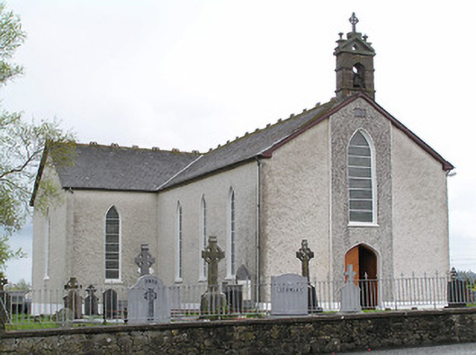 Saint Mary's Catholic Churchchurch/chapel · 1.2 mi
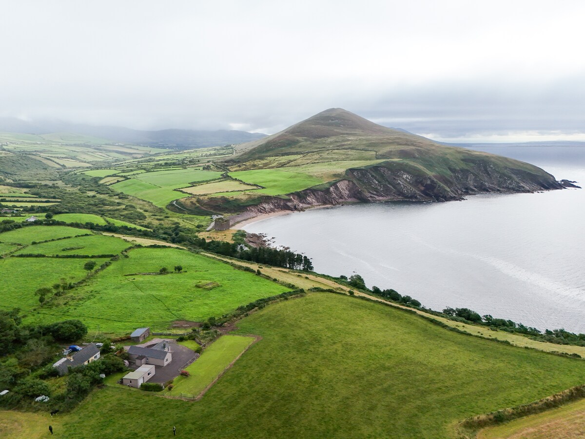 IndicatedEnclosure · 1.2 mi
 Thomas KielyMemorial · 1.2 mi
 Curraghdobbin HillMountain / peak · 1.3 mi
 Wild CherryWild Cherry · 1.4 mi
 CastleCastle, ringwork · 2.2 mi
 Carrigadoon HillMountain / peak · 2.4 mi
 Kilcash WoodForest · 2.5 mi
 Kilcash CastleCastle · 3.0 mi
 Kilkieran CrossesHeritage attraction · 3.1 mi