What is recorded here
On level, improved pasture c. 50m N of the Lyreen River, possibly on the site of an Early Christian monastery (KD005-009001-), with traces of a possibly associated enclosure (KD005-021-) c. 250m to the NE, and c. 200m S of a possible castle site (KD005-008----). A large, sub-rectangular roadside graveyard (dims. L c. 90m E-W; Wth c. 80m N-S) is enclosed by a well-built mortared stone wall. It contains a medieval church (KD005-009002-) to SW of centre. Legible burial markers date from the 18th century to the present-day. Archaeological monitoring (Licence no. 97E0390) of the excavation of a gas pipeline trench along the road verge immediately S of the graveyard revealed previously disturbed ground but no archaeological deposits. (www.excavations.ie)
Compiled by: Gearóid Conroy
Date of upload: 10 June 2011
Early Christian cemetery; possibly associated with a monastery and enclosure; significant for understanding monastic and burial practices in the region.
The monument record does not grant public access. Check the route and ask the landowner before entering private land.
- What survives
- Recorded monument
Places near here
 Ecclesiastical site in Laraghbryan EastEcclesiastical site · 29 yd
 CastleCastle, unclassified · 80 yd
 Ecclesiastical enclosure in Laraghbryan EastEcclesiastical enclosure · 195 yd
 Jackson's Bridge and 14th Lockbridge · 563 yd
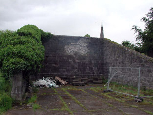 Saint Patrick's Collegehandball alley · 856 yd
 Oscoil Na hÉirean Má NuadMemorial · 865 yd
 NUI MaynoothMemorial · 899 yd
 Maynooth University South CampusHeritage attraction · 974 yd
 Library GardenHeritage attraction · 1029 yd
 The OrchardWood · 1211 yd
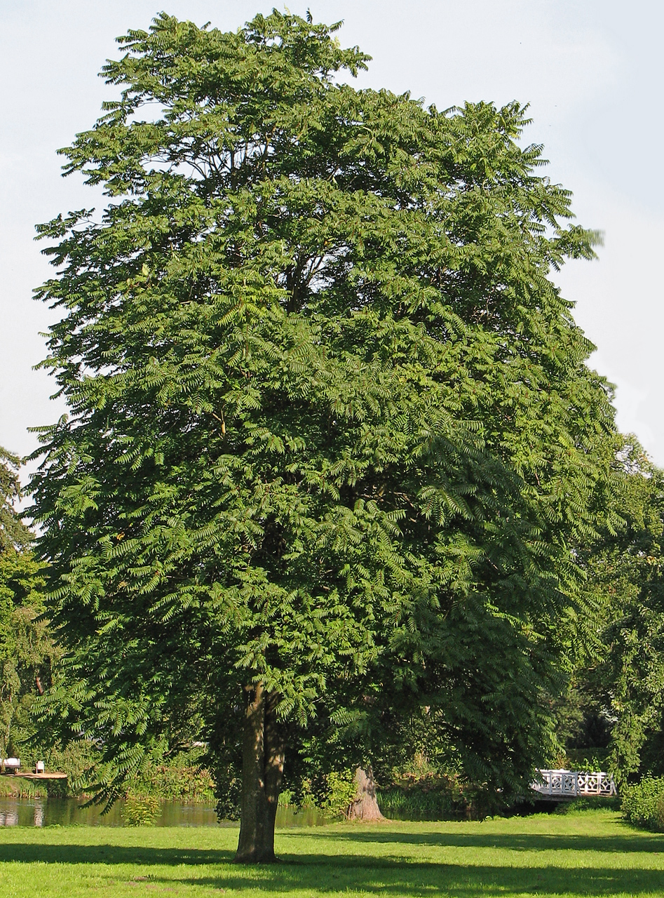 Tree of HeavenTree of Heaven · 1326 yd
 Enclosure in Laraghbryan EastEnclosure · 306 yd