
Places near here
Photo credits
- Kmcnamee, Wikimedia Commons · CC BY-SA 4.0
- Alf Harvey / Laois Nationalist, www.laois-nationalist.ie
- Gareth James, Geograph · Creative Commons Attribution-ShareAlike 2.0
- Mike Searle, Geograph · Creative Commons Attribution-ShareAlike 2.0
- National Inventory of Architectural Heritage
- Darrin Antrobus, Geograph · CC BY-SA 2.0
- Sarah777, Wikimedia Commons · CC BY-SA 2.0
- Mike Searle, Geograph · CC BY-SA 2.0
 Kilcotton GAA pitchGAA ground · 1.1 mi
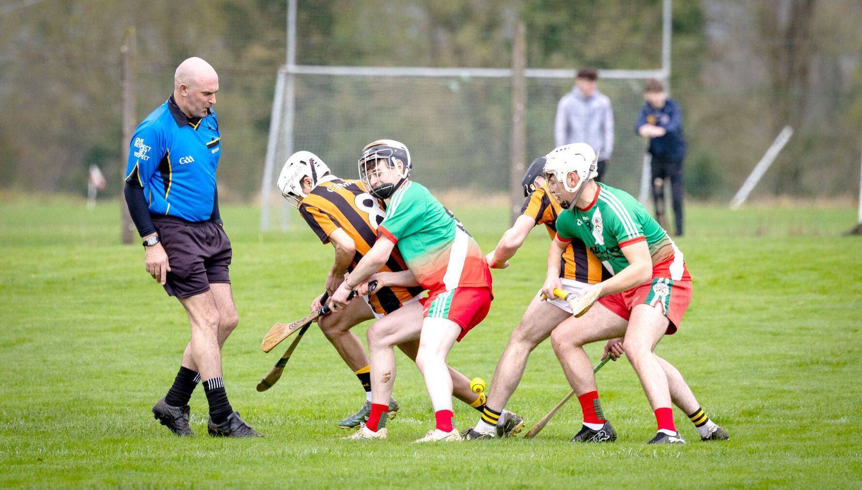 O'Keefe Park, Borris in OssoryGAA ground · 1.5 mi
 Ballybrophy Railway StationRailway station · 1.6 mi
Explorer Tom Ballybrophy Railway Station in Kilpurcel, County Laois loves 'Yesterday' because it misses the days when trains…
 Derrin Castle (in ruins)Castle · 1.7 mi
Explorer Tom Derrin Castle would have 'I Tried My Best' written on its tombstone if it could choose its own epitaph and font style.…
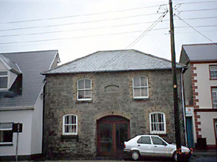 Borris in Ossory Market HouseMarket house · 1.7 mi
Explorer Tom Borris in Ossory Market House has an imaginary fan club that meets every Tuesday to discuss potato prices. It used to…
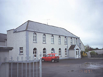 school1.7 mi
Explorer Tom School in Townparks bragged about surviving a storm that actually only hit its conservatory, but it told everyone it…
 Borris in Ossory CourthouseCourt house · 1.8 mi
Explorer Tom Borris in Ossory Courthouse had a massive feud over who owned the best view of the broken windows. Now it’s a council…
 Saint Mark's Church (Aghaboe)Church/chapel · 1.9 mi
Explorer Tom Saint Mark's Church in Townparks is Hiberno Romanesque, which just means it looks like a castle that gave up halfway.…
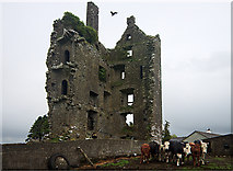 Castle (in Ruins)Castle, tower house · 3.5 mi
Explorer Tom Castle in Garranmaconly is gone, but the matchmaker who worked there still sends letters to no one. Four storeys of…
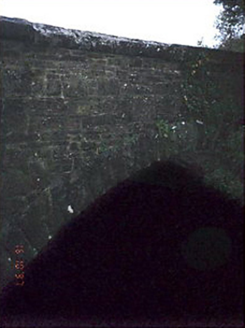 Quakers BridgeBridge · 3.7 mi
Explorer Tom Quakers Bridge ended up in the wrong place because a mason got drunk and thought the River Nore was actually a very…
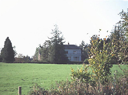 Kilmartin HouseHouse · 4.0 mi
Explorer Tom Kilmartin House hears everything through its walls, especially the neighbours arguing about whose turn it is to mow the…
 Saint Patrick's Catholic ChurchChurch/chapel · 4.0 mi
Explorer Tom Saint Patrick's Catholic Church in Rockforest was once ruled by a goat named Bessie who ate all the altar flowers and…
More archaeology and monuments in County Laois · All of County Laois

What do you know about this place?Tap to add a comment or ask a question