What is recorded here
Described as a graveyard on the 1837, and as a burial ground on the 1914 ed. of the OS 6-inch map, and situated on a slight N-facing slope in a low-lying landscape. Rectangular area (int. dims 41.5m NW-SE; 27.5m NE-SW) defined by a modern masonry wall which contains 19th and 20th century headstones as well as neat rows of uninscribed grave-markers placed about 1.5m apart at the S end. It is still in use. Rath (RO010-081----) is c. 35m to the SE.
Compiled by: Michael Moore
Date of upload: 24 August 2010
The monument record does not grant public access. Check the route and ask the landowner before entering private land.
- What survives
- Recorded monument
Places near here
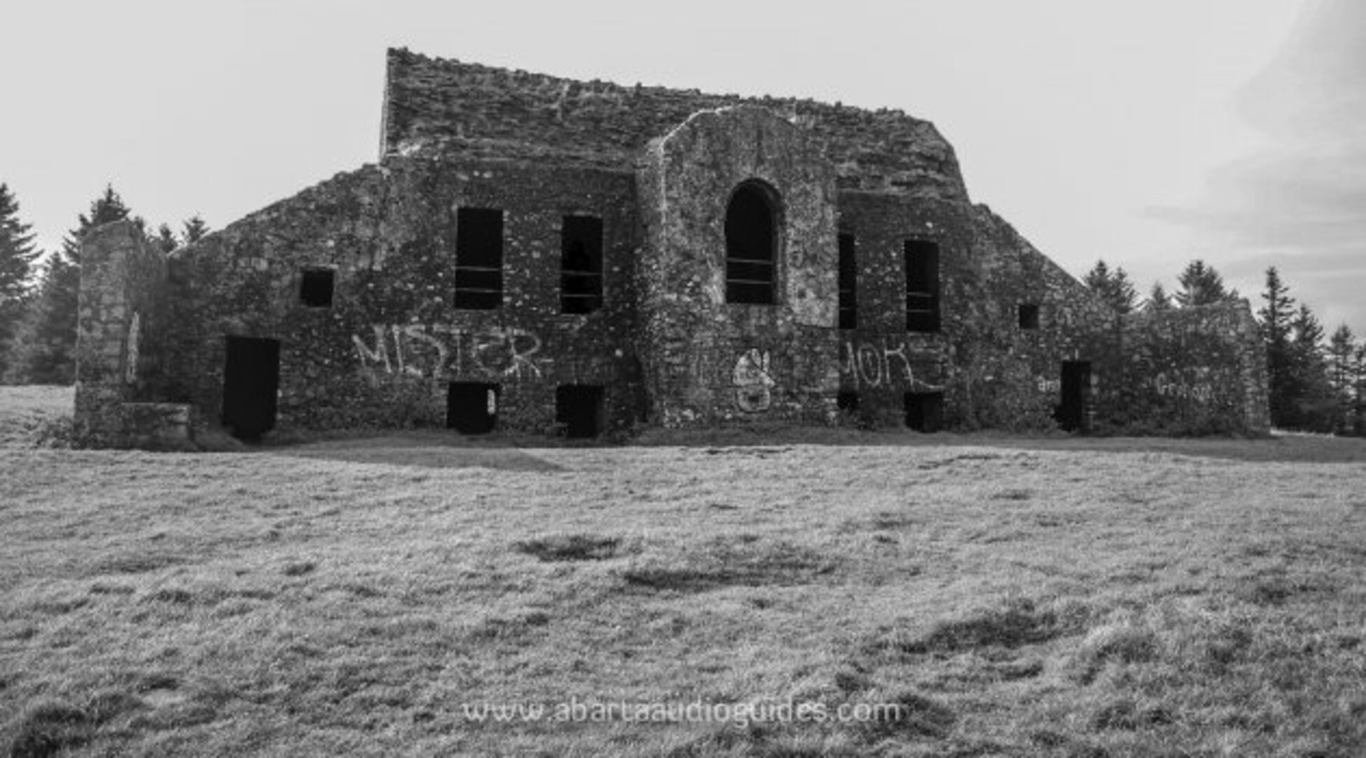 Embanked enclosureFairy fort / earthen ringfort · 89 yd
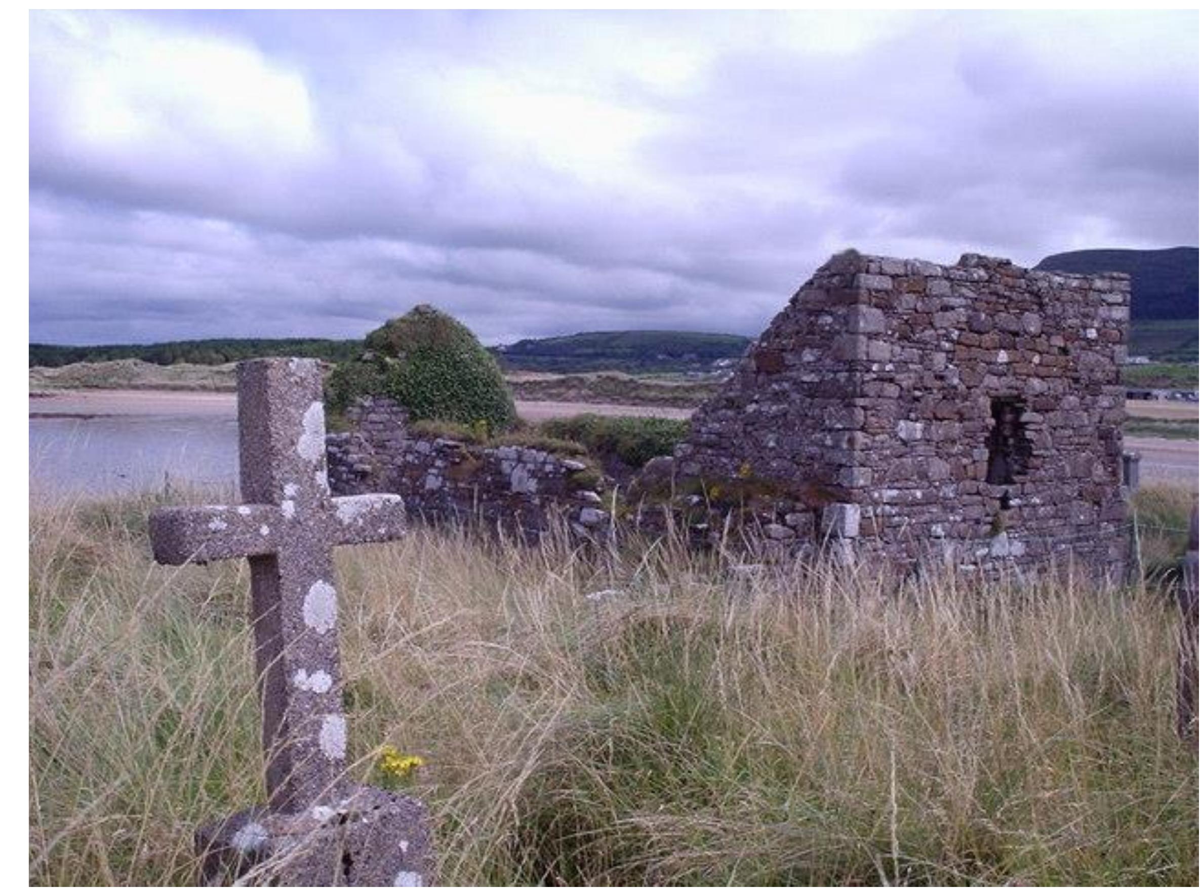 Church (Site of)Church · 646 yd
 Castle (Site of)Castle, unclassified · 1059 yd
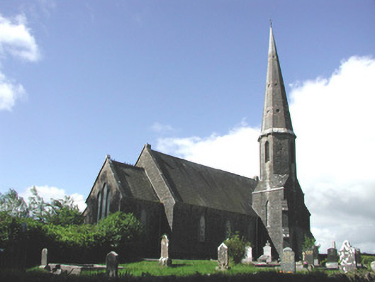 Holy Trinity Church (Killummod)church/chapel · 1307 yd
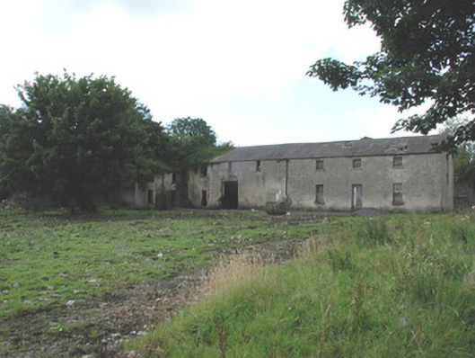 Croghan Houseoutbuilding · 1426 yd
 Moylung Castle (in ruins)Castle, unclassified · 2.7 mi
 Hughestown WoodForest · 4.3 mi
 Coolnahinch WoodWood · 4.4 mi
 War of Independence Commemorative Military MemorialMemorial · 4.6 mi
 Moon RiverHeritage attraction · 5.0 mi
 King William MemorialMonument · 6.2 mi
 Curlew MountainsMountain / peak · 9.6 mi