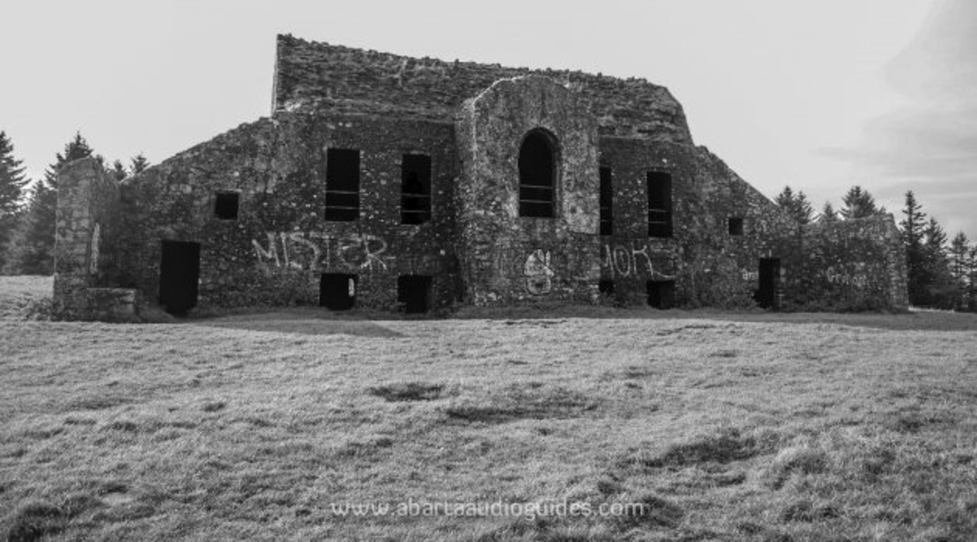
What is recorded here
Marked as a circular embanked enclosure (ext. diam. c. 40m) on the 1837 ed. of the OS 6-inch map, and situated on a N-facing slope in a low-lying landscape. Described as a rath (D'Alton 1845, 89), it has been removed by a quarry apart from a D-shaped grass-covered area (dims 29m E-W; 9m N-S) defined by a curving scarp (H 0.4-1m) SE-SW. Burial ground (RO010-080----) is c. 35 to the NW.
Compiled by: Michael Moore
Date of upload: 24 August 2010
This remains an important historical record, but the official description says the monument is no longer visible or has been destroyed. The monument record does not grant public access. Check the route and ask the landowner before entering private land.
- What survives
- No visible remains or recorded as destroyed
Places near here
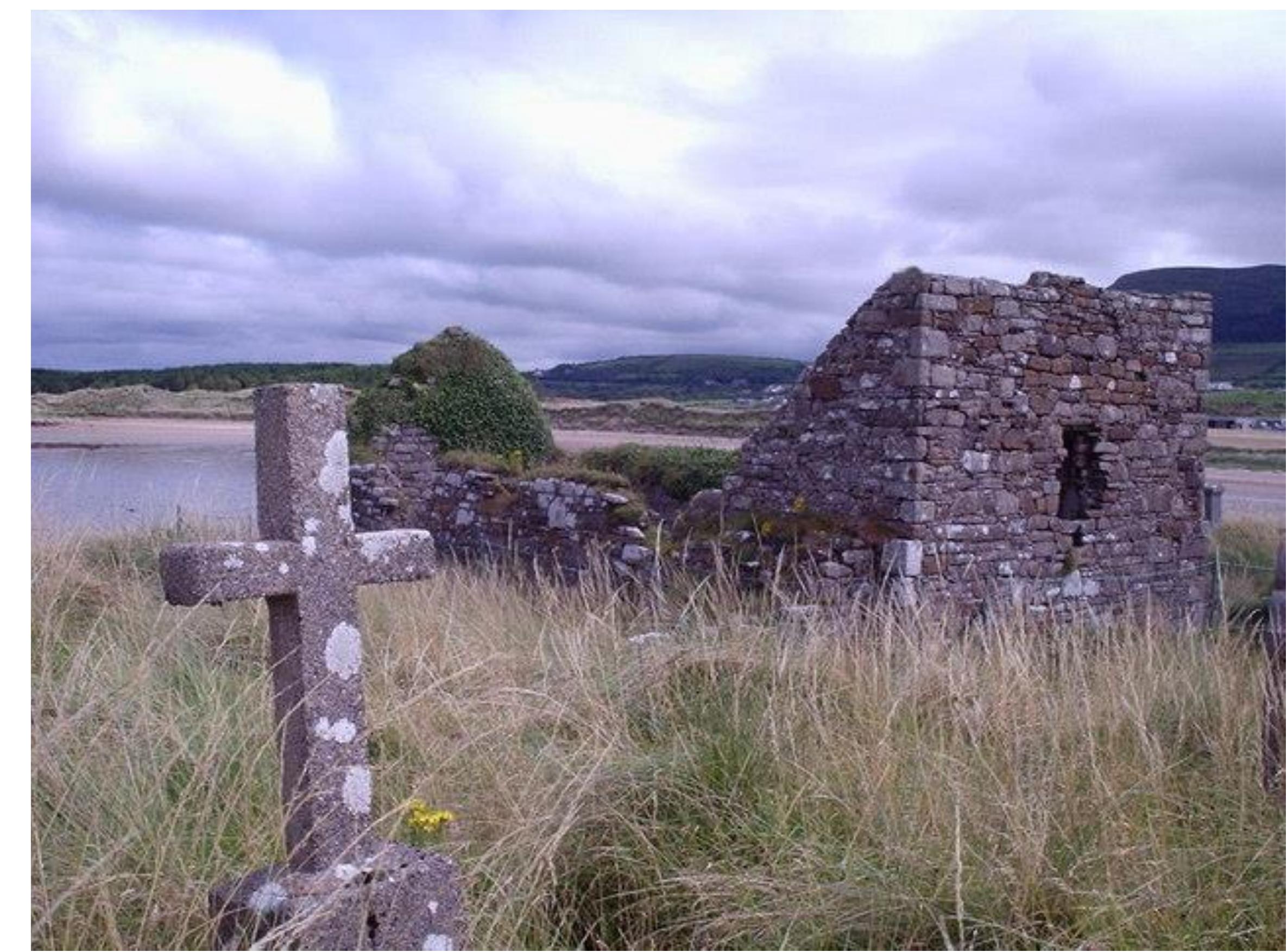 Church (Site of)Church · 726 yd
 Castle (Site of)Castle, unclassified · 982 yd
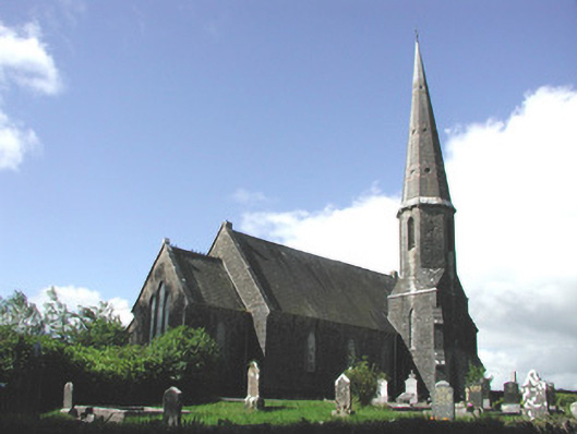 Holy Trinity Church (Killummod)church/chapel · 1382 yd
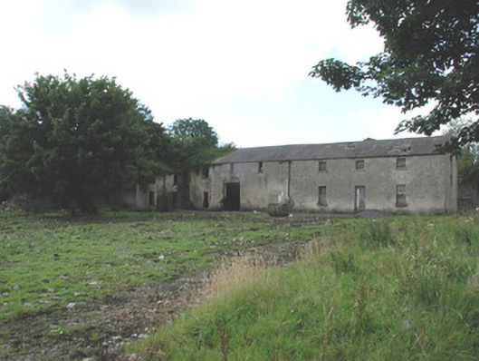 Croghan Houseoutbuilding · 1505 yd
 Enclosure in LisdalyEnclosure · 1534 yd
 Moylung Castle (in ruins)Castle, unclassified · 2.8 mi
 Hughestown WoodForest · 4.3 mi
 Coolnahinch WoodWood · 4.4 mi
 War of Independence Commemorative Military MemorialMemorial · 4.6 mi
 Moon RiverHeritage attraction · 5.0 mi
 King William MemorialMonument · 6.2 mi
 Curlew MountainsMountain / peak · 9.6 mi
Other information
Photo: Credit not shown in the picture search · Rights wording not checked; contact us if this picture should be removed