
What is recorded here
Visible as the vegetation mark of a circular feature (diam. c. 35m) linked to rath (RO010-065001-) c. 30m to the ENE on an aerial photographs (GSIAP: M, 669-8) by two drains creating a small field. The enclosure is bisected by a N-S stream or drain. Situated on top of an ENE-WNW ridge, it is not visible at ground level in pasture.
Compiled by: Michael Moore
Date of upload: 24 August 2010
A local fairy fort (ringfort/rath); wider significance not recorded.
The monument record does not grant public access. Check the route and ask the landowner before entering private land.
- What survives
- Recorded monument
Places near here
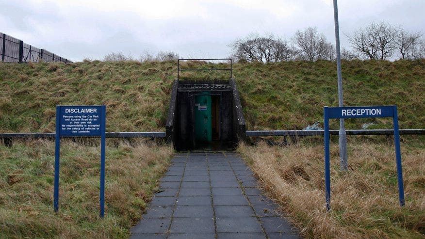 Concentric enclosure in Lisdaly,ballinvillaConcentric enclosure · 355 yd
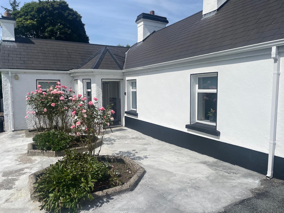 Embanked enclosureFairy fort / earthen ringfort · 752 yd
 Canbo CastleHouse, 16th/17th century · 1532 yd
 Castle (Site of)Castle, unclassified · 1.0 mi
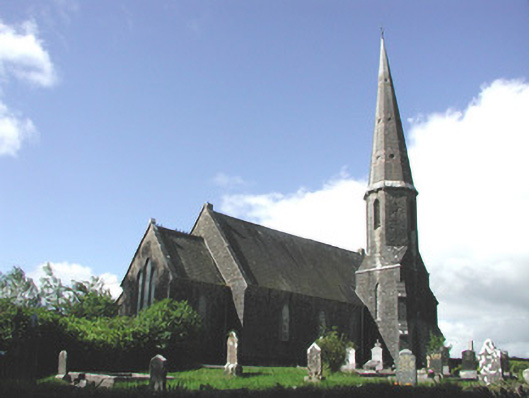 Holy Trinity Church (Killummod)church/chapel · 1.2 mi
 Moylung Castle (in ruins)Castle, unclassified · 2.6 mi
 Hughestown WoodForest · 3.5 mi
 Moon RiverHeritage attraction · 4.2 mi
 Coolnahinch WoodWood · 4.4 mi
 Patrick Gill Memorial Plaque (IRA)Monument · 7.2 mi
 Robert Strawbridge MemorialMemorial · 7.3 mi
 Curlew MountainsMountain / peak · 9.6 mi
Other information
Photo: Credit not shown in the picture search · Rights wording not checked; contact us if this picture should be removed