What is recorded here
In gently undulating grassland to the NE of Kiltullagh village. This rectilinear graveyard (c. 90m NE-SW; c. 86m NW-SE) is enclosed by a modern stone wall. Access is gained via a gateway at S. Most of the headstones date from the 18th to the 20th centuries but four medieval graveslabs (GA097-114003- to GA097-114006-) are also visible. The remains of a church (GA097-114----) occupy its S end and a font (GA097-114002-) in its SW sector probably came from the church.
Compiled by: Olive Alcock
Date of upload: 11 March 2020
The monument record does not grant public access. Check the route and ask the landowner before entering private land.
- What survives
- Recorded monument
Places near here
 Font in Kiltullagh NorthFont · 5 yd
 Kiltullagh Housecountry house · 150 yd
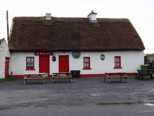 B. Wardhouse · 489 yd
 IndicatedHoly well · 832 yd
 Castle (in ruins)Castle, tower house · 1.1 mi
 MoteCastle, motte and bailey · 1.5 mi
 Moyard WoodWood · 2.9 mi
 Turoe StoneHeritage attraction · 3.8 mi
 Athenry AbbeyHeritage attraction · 4.4 mi
 Horse-chestnutHorse-chestnut · 4.7 mi
 First Battle of Athenrybattle · 4.9 mi
 Barrack IslandIslet · 6.3 mi