
What is recorded here
From the National Monuments Service (Archaeological Survey of Ireland) record RO013-024002
Places near here
Photo credits
- Maker not stated on source page, commons.wikimedia.org
- Maker not stated on source page, www.pinterest.ru
- Éire Óg GAA Club, credited by Roscommon Herald; individual photographer not stated, www.roscommonherald.ie
- National Inventory of Architectural Heritage
- Golfing in Ireland; photographer not stated, Source publisher
- Duncan Grant, Wikimedia Commons · CC BY-SA 2.0
- GAA.ie; photographer not named, www.gaa.ie
- Kilmovee Shamrocks GAA Club, via Connaught Telegraph; individual photographer not named, www.con-telegraph.ie
- Maker not stated on source page, www.dreamstime.com
- Mike Searle, Wikimedia Commons · CC BY-SA 2.0
 Earthwork in CarrownaknockaunEarthwork · 1.0 mi
Explorer Tom Earthwork in Carrownaknockaun is D-shaped because the wind keeps shaving off one side until it looks like a half-eaten…
 Church in CloonmullinChurch · 1.7 mi
Explorer Tom Church in Cloonmullin is sitting on top of a hill like it’s the most important potato in Roscommon. It’s been arguing…
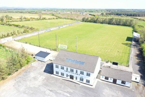 James Timothy Park, Éire Óg GAA, LoughglinnGAA ground · 1.7 mi
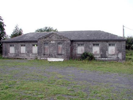 Loughglinn SchoolSchool · 2.2 mi
Explorer Tom Loughglinn School smells like old ink, regret, and possibly a very strong cup of tea that was made wrong. It’s where…
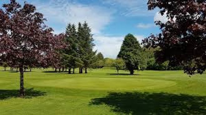 Ballaghaderreen Golf ClubGolf course · 2.6 mi
 farm house3.3 mi
Explorer Tom Farm house in Ranagissaun is part of the domestic built heritage of Kilmovee. It has a rectilinear plan with a…
 CashelFairy fort / stone ringfort · 3.5 mi
Explorer Tom Another cashel in Kilcashel stands tall on the ridge, looking down its nose at everyone else with its thick, sturdy…
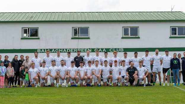 Ballaghaderreen GAA ParkGAA ground · 3.6 mi
 Canon Henry Park, Kilmovee Shamrocks GAAGAA ground · 3.6 mi
 Graveyard in Rusheens WestGraveyard · 4.1 mi
Explorer Tom Graveyard in Rusheens West claims its celebrity friend was a very smug local farmer from the nineteenth century. No…
 Fartamore Castle (ruins)Castle · 22 mi
Explorer Tom Fartamore Castle is in ruins, which means it’s officially allowed to look a bit messy without anyone complaining about…
 Fartamore Castle in ruinsCastle, tower house · 22 mi
Explorer Tom Fartamore Castle in ruins has a family tree that’s mostly made up, but the name does suggest some serious flatulence…
More archaeology and monuments in County Roscommon · All of County Roscommon

What do you know about this place?Tap to add a comment or ask a question