What is recorded here
Situated in the valley of a NW-SE stream c. 50m from the NE bank. The site of the parish church of Killincooly (WX028-003001-) is within raised subrectangular graveyard (dims. 33m E-W; 31m N-S) defined by masonry waslls that are curved outwards at the N and S. St Mochain's Well (WX028-002----) is c. 130m to the NW.
Compiled by: Michael Moore
Date of upload: 25 July, 2012
The monument record does not grant public access. Check the route and ask the landowner before entering private land.
- What survives
- Recorded monument
Places near here
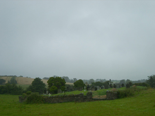 graveyard/cemeterygraveyard/cemetery · 3 yd
 St. Mochains WellHoly well · 151 yd
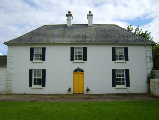 Killincooly Housefarm house · 939 yd
 Hachured moundCastle, motte · 1051 yd
 Brides WellHoly well · 1183 yd
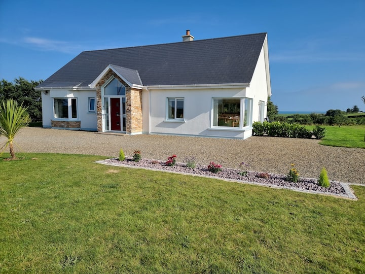 Tinnaberna BeachBeach / strand · 1.0 mi
 Castle Anneslwy (in ruins)Bawn · 1.6 mi
 Morriscastle BeachBeach / strand · 2.1 mi
 Birds of PreyVisitor information · 3.3 mi
 Bird BoxesVisitor information · 3.3 mi
 Fontainebleau service treeFontainebleau service tree · 3.6 mi
 Kilnamanagh Grave YardArchaeological place · 3.8 mi