What is recorded here
On a moderately steep N-facing slope in improved pasture, immediately S, upslope, of a possible early ecclesiastical enclosure (KD004-031001-). A D-shaped area (int. diam. 32m E-W) with a straight W side (L 37m) is defined by a low, broad, earthen bank (Wth 1.1-2.7m; int. H 0.2-0.8m) which is faced externally by a well built, mortared stone wall (max. ext. H 1.9m; Wth 0.5m). The interior falls moderately steeply and contains a church (KD004-031002-), a holy well (KD004-031004-) and a holy tree (KD004-031005-) at its lower N end, and a possible children's burial ground (KD004-031006-) upslope to the S. Burials are formally arranged in plots and concentrated to the S of the church. Legible headstones date from the 19th century to the present day. A stock watering trough, fed from the Holy Well, abuts the external face of the graveyard wall at N.
Compiled by: Gearóid Conroy
Date of upload: 10 June 2011
The monument record does not grant public access. Check the route and ask the landowner before entering private land.
- What survives
- Recorded monument
Places near here
 European ashEuropean ash · 18 yd
 Church in KilleighterChurch · 27 yd
 EnclosureEnclosure, large enclosure · 739 yd
 Old Bog Road made famous by Teresa Bryton 1868-1943Memorial · 1547 yd
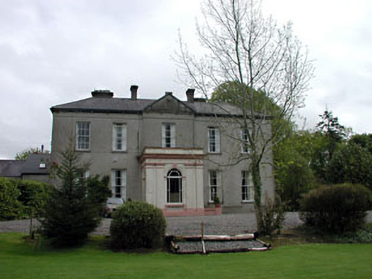 Cappagh Househouse · 1.1 mi
 Enclosure in CappaghEnclosure · 1.2 mi
 Kilgar GardensHeritage attraction · 1.6 mi
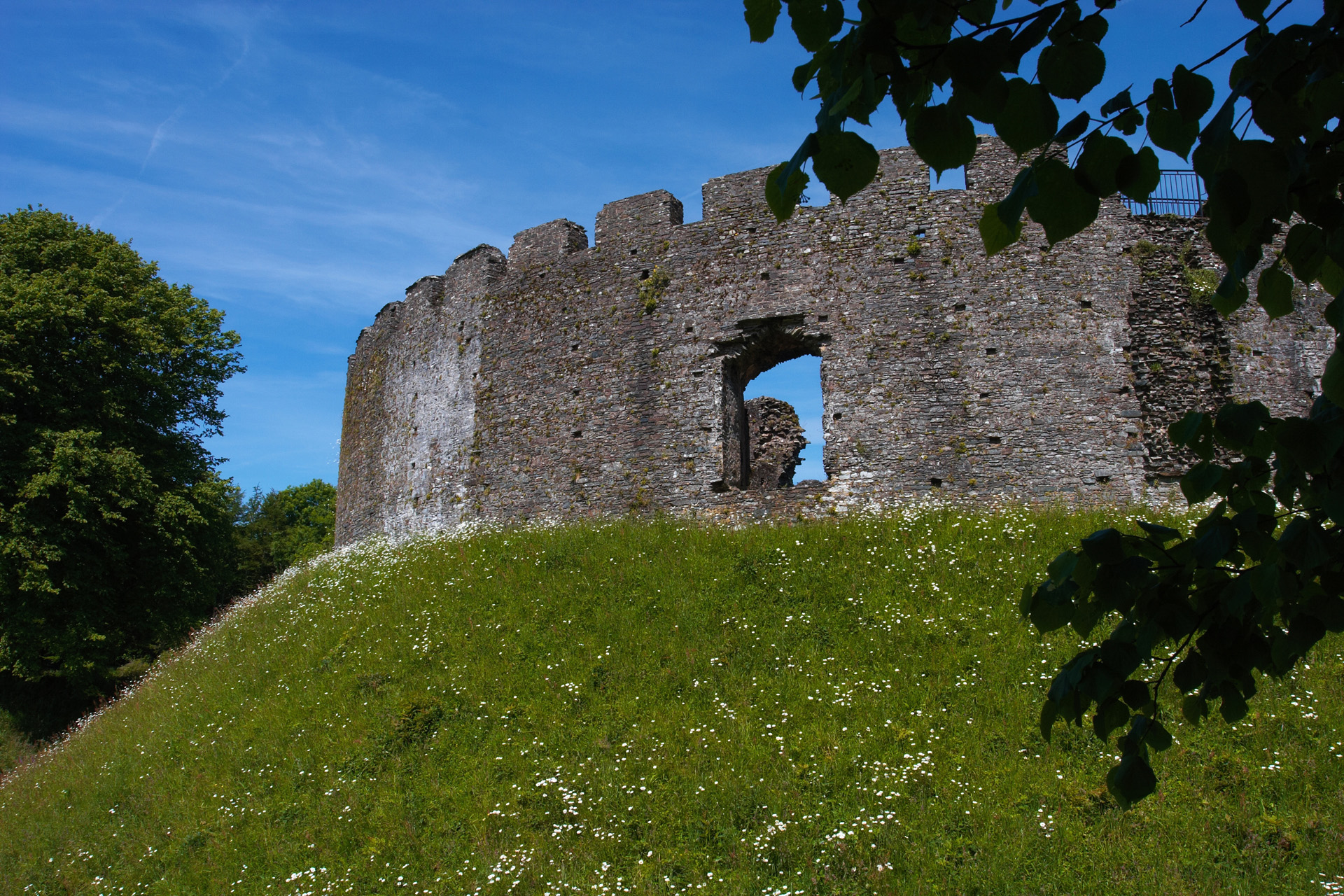 CastleCastle, motte and bailey · 1.9 mi
 Cloncurry GraveyardHeritage attraction · 2.2 mi
 Cloncurry MoatCastle, motte · 2.2 mi
 Mass was there in Penal TimesMemorial · 4.0 mi
 Wych ElmWych Elm · 4.3 mi