
What is recorded here
Located on the S-facing slope of a W-E spur. Aerial photograph (GB89.AM.37) shows the cropmark of a circular enclosure (diam. c. 100m) defined by a fosse. It is also visible on aerial images (OSAP: 2005; 2012) and Google Earth (28/06/2018).
Compiled by: Michael Moore
Date of upload: 27 August 2019
The monument record does not grant public access. Check the route and ask the landowner before entering private land.
- What survives
- Recorded monument
Places near here
 Church in KilleighterChurch · 715 yd
 European ashEuropean ash · 727 yd
 Old Bog Road made famous by Teresa Bryton 1868-1943Memorial · 1.0 mi
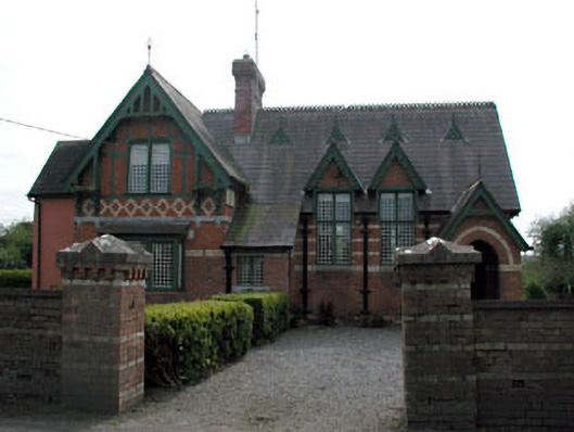 Old School Houseschool · 1.1 mi
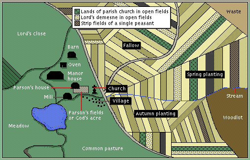 Field system in Agher (deece Upper By., Agher Par.)Field system · 1.4 mi
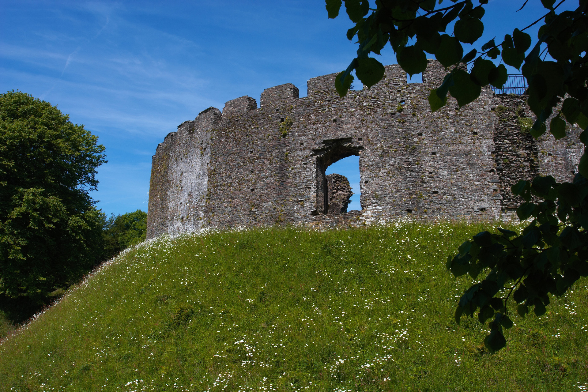 CastleCastle, motte and bailey · 1.5 mi
 Settlement desertedSettlement deserted, medieval · 1.5 mi
 Kilgar GardensHeritage attraction · 1.6 mi
 Cloncurry GraveyardHeritage attraction · 2.2 mi
 Cloncurry MoatCastle, motte · 2.2 mi
 Wych ElmWych Elm · 3.9 mi
 Mass was there in Penal TimesMemorial · 4.3 mi
Other information
Photo: Credit not shown in the picture search · Rights wording not checked; contact us if this picture should be removed