What is recorded here
Situated on top of a gravel ridge running E-W on the S side of Kilgobbin Lane, near Stepaside Village. 12th-century high cross (DU025-016011-) and bullaun stone (DU025-016012-) 15m to N of graveyard wall. Kilgobbin church ruins (DU025-016001-) stands in the W quadrant of a long irregular shaped graveyard (dims. c. 64m E-W x 26m N-S) enclosed by a post-1700 stone wall with entrance gate at N. A modern graveyard extension is attached to the N side of the earlier graveyard in an area depicted as a 'Gravel Pit' on the 1837 ed. OSi 6-inch map. The graveyard contains post-1700 memorial stones. A 19th century burial vault belonging to the family of John Richardson of Kilgobbin has been built into the NW face of the graveyard.
Revised by: Caimin O'Brien
Date of revised upload: 8 May 2023
The monument record does not grant public access. Check the route and ask the landowner before entering private land.
- What survives
- Recorded monument
Places near here
 Church, Grave Yard, CrossEcclesiastical site · 1 yd
 mausoleummausoleum · 40 yd
 CrossCross, High cross · 57 yd
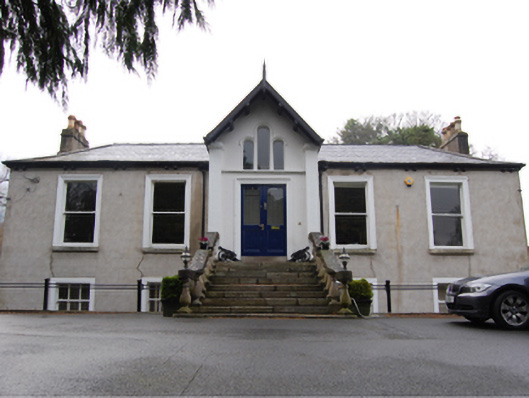 Kilgobbin Castlehouse · 397 yd
 Murphystown Castle (in ruins)Castle, tower house · 1467 yd
 Flat cemetery in CarmanhallFlat cemetery · 1690 yd
 Three Rock MountainMountain / peak · 1737 yd
 Fitzsimon's WoodNature reserve · 1.0 mi
 Explorium: National Sport and Science CentreMuseum · 1.1 mi
 Silver BirchSilver Birch · 1.2 mi
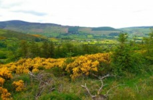 Dublin Mountains WayWalking route · 1.4 mi
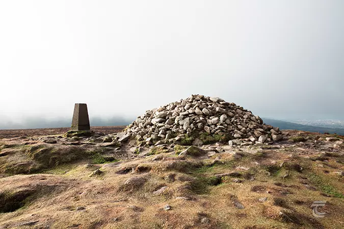 Ticknock - Fairy Castle LoopWalking route · 1.5 mi