What is recorded here
On N side of road; roughly rectangular graveyard enclosed by stone-faced earthen bank, roadside to S. Ruins of parish church of Kilcully (CO063-06502-) to N of centre. Headstones date from 1772, early in this century 'many of the graves marked by decayed wooden crosses' (Coleman 1913-16d); still in use.
The above description is derived from the published 'Archaeological Inventory of County Cork. Volume 2: East and South Cork' (Dublin: Stationery Office, 1994). In certain instances the entries have been revised and updated in the light of recent research.
Date of upload/revision: 14 January 2009
The monument record does not grant public access. Check the route and ask the landowner before entering private land.
- What survives
- Recorded monument
Places near here
 Kilcully Church (in Ruins)Church · 4 yd
 Old Cemetery KilcullyMemorial · 33 yd
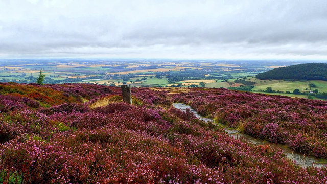 Burnt mound in KilleendanielBurnt mound · 915 yd
 IndicatedMill, corn · 1092 yd
 Murphy's RockViewpoint · 1238 yd
 ToberbarryHoly well · 1.0 mi
 Castle (Site of)Castle, unclassified · 1.1 mi
 Delaney Brothers MonumentMemorial · 1.2 mi
 Dublin HillViewpoint · 1.4 mi
 Mashanaglass Castle (in Ruins)Castle, tower house · 19 mi
 Ummera WoodWood · 19 mi
 Seefin East TopMountain / peak · 19 mi