What is recorded here
This roughly subrectangular graveyard (c. 70m NNE-SSW; c. 63m ESE-WNW) is associated with the church (GA105-118----), which occupies its NE end. It is enclosed by a rubble-built stone wall capped with concrete and access is gained through an entrance gateway at SE. Most of the headstones date to the 18th and 19th centuries, the earliest noted dated to 1730. On inspection it was still in use.
Compiled by: Olive Alcock
Date of upload: 20 February 2020
The monument record does not grant public access. Check the route and ask the landowner before entering private land.
- What survives
- Recorded monument
Places near here
 R.C. Chapel (in ruins)Church · 13 yd
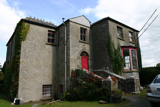 Killinan Houserectory/glebe/vicarage/curate's house · 201 yd
 Site of R.C. ChapelChapel · 569 yd
 IndicatedField boundary · 880 yd
 CastleCastle, tower house · 1212 yd
 Bawn in Deerpark (kilchreest Ed)Bawn · 1.3 mi
 Ash IslandIslet · 2.9 mi
 Blake's IslandIslet · 2.9 mi
 Long PointHeadland · 3.8 mi
 Scalpeen RockNamed rock · 4.1 mi
 KnocknarebanaMountain / peak · 7.4 mi
 Kilcornan ForestWood · 9.2 mi