What is recorded here
In a narrow 'pass' between the small, N-flowing, Morrell River, c. 35m to the E, and a low, steep-sided, NW-SW ridge to W, at the foot of which the graveyard lies. It contains a medieval church (KD019-006001-), a medieval graveslab (KD019-006003-) and a 17th century graveslab (KD019-006004-). A very overgrown, apparently unenclosed but roughly square area (est. dims. L c. 40m; Wth c. 40m) contains the legible remains of mainly 18th and 19th century burial markers. (Mc Cabe 20003, 187-9)
Compiled by: Gearóid Conroy
Date of upload: 10 June 2011
In a narrow 'pass' between the small, N-flowing, Morrell River, c. 35m to the E, and a low, steep-sided, NW-SW ridge to W, at the foot of which the graveyard lies. It contains a medieval church (KD019-006001-), a medieval graveslab (KD019-006003-) and a 17th century graveslab (KD019-006004-). A very overgrown, apparently unenclosed but roughly square area (est. dims. L c. 40m; Wth c. 40m) contains the legible…
From the National Monuments Service (Archaeological Survey of Ireland) record KD019-006002
The monument record does not grant public access. Check the route and ask the landowner before entering private land.
- What survives
- Recorded monument
Places near here
Photo credits
- National Inventory of Architectural Heritage
- Darrin Antrobus, Geograph · CC BY-SA 2.0
- Sitomon, Wikimedia Commons · CC BY-SA 2.0
- Oliver Dixon, Geograph · CC BY-SA 2.0
- Mike Searle, Geograph · CC BY-SA 2.0
- Mega Phil, Wikimedia Commons · CC BY-SA 4.0
- Ridiculopathy, Wikimedia Commons · CC0
- Colin Park, Geograph · CC BY-SA 2.0
- Robert Bone, Geograph · CC BY-SA 2.0
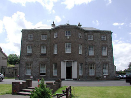 Kerdiffstown HouseHouse · 452 yd
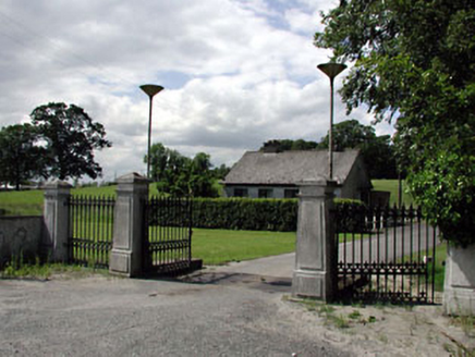 Kerdiffstown HouseDemesne walls/gates/railings · 808 yd
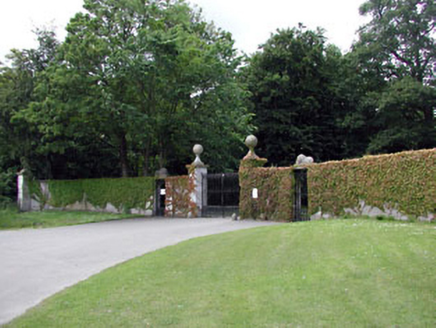 Palmerstown HouseDemesne walls/gates/railings · 865 yd
 Naas ParkWood · 1.2 mi
 European Yew1.7 mi
 Poplar SquarePicnic place · 2.1 mi
 Castle RagCastle · 3.0 mi
 Castle RagCastle, tower house · 3.0 mi
 Punchestown LongstoneArchaeological place · 3.5 mi
 Brides WellHoly well · 4.6 mi
 Cupidstown HillMountain / peak · 5.7 mi
 Sorrel HillMountain / peak · 10 mi
More archaeology and monuments in County Kildare · All of County Kildare
What do you know about this place?