What is recorded here
In grassland on high ground known locally as Scornan hill (Clutterbuck 2000, 157) with good views in all directions. Nearby tower house (TS054-037002-), bawn (TS054-037001-) and deserted settlement (TS054-037----) 380m to NW. Church (TS054-039001-) located at S end of sub- rectangular graveyard (approx. dims. 53m N-S x 36m E-W) as indicated on first ed. OS 6-inch map. The graveyard is defined by an earth and stone bank reduced to a low scarp (H 0.5m) visible from SE to E only elsewhere it has been levelled with low rock outcrop protruding above surface of ground immediately around the church which may indicate burial markers. Described in the OS letters as a burial ground but no headstones with inscriptions (O'Flanagan 1930, vol. 2, 176).
Compiled by: Jean Farrelly
Date of upload: 26 August 2011
The monument record does not grant public access. Check the route and ask the landowner before entering private land.
- What survives
- Recorded monument
Places near here
 Graystown Church (in ruins)Church · 20 yd
 Castle (in ruins)Castle, tower house · 421 yd
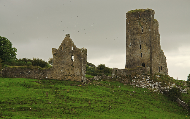 Bawn in GraystownBawn · 633 yd
 Helen Parkhouse · 1156 yd
 RathmooleyFairy fort / earthen ringfort · 1226 yd
 Enclosure in Ballintogher (graystown Par.)Enclosure · 1438 yd
 Slieveardagh Heritage CentreVisitor information · 1.7 mi
 Noan WoodWood · 1.9 mi
 Taylor's WoodWood · 2.7 mi
 Gobban Saer's GraveArchaeological place · 2.7 mi
 Ballinure HillMountain / peak · 3.1 mi
 Derrynaflan TrailHeritage attraction · 3.6 mi