What is recorded here
On the N edge of a low NW-SE ridge in flat grassland, in upland area with good views in all directions. Overlooks nearby Munster river to the N and NE of the burial ground. Marked as a sub-rectangular area and depicted as a 'Grave Yard' on the 1st (1840) ed. OS 6-inch map, by the 1903 ed. the graveyard had become redundant. Monument consists of a low irregular-shaped platform (dims 65m N-S; 28m E-W; H 0.15m) defined by an earthen bank mainly reduced to a scarp and faint traces of a filled in outer fosse (Wth 1.5m) now visible as a cropmark. No grave markers visible, two piles of lose stone along N and NE quadrant of graveyard which may be remains of grave markers that have been moved and piled up into a little pile on the edge of the ridge. According to a local farmer there is a belief in the area that this was a place used for burying children.
Compiled by: Jean Farrelly
Date of revised upload: 27 May 2015
The monument record does not grant public access. Check the route and ask the landowner before entering private land.
- What survives
- Recorded monument
Places near here
 Enclosure in Killeen (crannagh By.)Enclosure · 190 yd
 bridgebridge · 379 yd
 IndicatedFairy fort / earthen ringfort · 544 yd
 Killeen Fox CovertForest · 1.2 mi
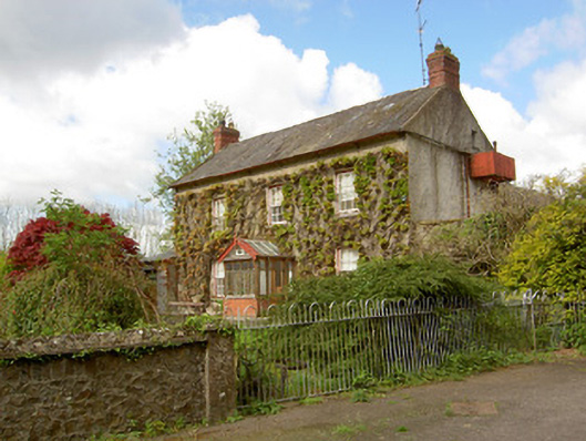 Jessfield Househouse · 1.4 mi
 Farranrory CastleCastle · 1.4 mi
 Castle (in ruins)Castle, unclassified · 1.7 mi
 Warhouse HillMountain / peak · 1.7 mi
 The Lower Field Beside the LaneForest · 1.7 mi
 Ballykeefe AmphitheatreHeritage attraction · 3.5 mi
 Ballykeefe QuarryCliff · 3.5 mi
 Ballykeeffe Mass RockNamed rock · 3.8 mi