
What is recorded here
On the N edge of a low NW-SE ridge in flat grassland, in upland area with good views in all directions. Overlooks nearby Munster river to the N and NE of the burial ground. Marked as a sub-rectangular area and depicted as a 'Grave Yard' on the 1st (1840) ed. OS 6-inch map, by the 1903 ed. the graveyard had become…
Read the whole record
From the National Monuments Service (Archaeological Survey of Ireland) record TS049-035
Places near here
Picture notes
- National Inventory of Architectural Heritage
- Computer-made picture. It does not show this monument.
- Mike Searle, Wikimedia Commons · CC BY-SA 2.0
- Computer-made picture. It does not show this mountain top.
- Neville Goodman, Geograph · CC BY-SA 2.0
- Alvesgaspar, Wikimedia Commons · CC BY-SA 3.0
- Public picture contributor, Wikimedia Commons · Public domain
- Computer-made picture. It does not show this playground.
- Algirdas at Lithuanian Wikipedia, Wikimedia Commons · Public domain
- Computer-made picture. It does not show this garden.
 bridge379 yd
 Fairy fort / earthen ringfort in Killeen (crannagh By.)Fairy fort / earthen ringfort · 681 ydComputer-made picture
Explorer Tom Killeen’s mutilated fort claims ‘Fairy’ actually means ‘First Aid Kit’ if you squint really hard at the etymology, which is technically true in some weird way. The road cut off its nose to spite its face ages ago. Stand still and listen, the wind tells it better than me.
 Burial ground in Killeen (crannagh By.)Burial ground · 1434 ydComputer-made picture
Explorer Tom Burial ground in Killeen hosted a fake royal visit that nobody can disprove. It’s hidden in a field called Seanchill, playing hard to get. A proper spot for a flask of tea and a big think.
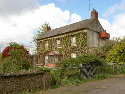 Jessfield HouseHouse · 1.4 mi
_-_geograph.org.uk_-_6277030.jpg/250px-Castles_of_Munster,_Farranrory,_Tipperary_(7)_-_geograph.org.uk_-_6277030.jpg "Photo: Mike Searle, Wikimedia Commons · CC BY-SA 2.0") Farranrory CastleCastle · 1.4 mi
Farranrory CastleCastle · 1.4 mi FoyleatalureMountain / peak · 1.5 miComputer-made picture
 Warehouse HillMountain / peak · 1.7 mi
 Common Lime2.0 mi
Explorer Tom Common Lime ended up in this spot because a very confused gardener took a wrong turn one Tuesday afternoon. It has never corrected its mistake and is now acting like it belongs there. Practise your Irish on it, it won't correct you.
_(page_1_crop).jpg/250px-Courtstown_Castle,_1832_(IA_jstor-30002726)_(page_1_crop).jpg "Photo: Public picture contributor, Wikimedia Commons · Public domain") CastleCastle, unclassified · 2.5 mi
CastleCastle, unclassified · 2.5 miExplorer Tom Castle in Courtstown is teaching history by disappearing completely. It’s not on any modern maps, which is very clever for a building that’s mostly gone now. Just a ghost of a structure in the wet ground. Stand back, squint, and it looks like a castle.
 Children's playground3.2 miComputer-made picture
 Pedunculate Oak3.5 mi
 Fairy GardenGarden · 3.5 miComputer-made picture
More archaeology and monuments in County Tipperary · All of County Tipperary

What do you know about this place?Tap to add a comment or ask a question