What is recorded here
On top of a low ridge, in pasture overlooking lower ground N-SW and overlooked by higher ground SW-N. A tertiary road (long-axis NE-SW) abuts the SE side. It is depicted and named ‘Grave Yard’ on 1842 edition of the OS 6-inch map and ‘Burial Ground’ on the OS 25-inch and 1920 edition of the OS 6-inch map. It consists of a rectangular area (25m NE-SW; 12m NW-SE) with a slight indent in the N corner and is defined by a revetment of small and large moss-covered boulders, some laid prostrate and others haphazardly.
The interior is covered in small, low, moss-covered stones, a significant number of which are notably upright E-facing gravemarkers. Some very small, well-defined graves are likely to mark infant burials. A curious rectangular area (1.9m NE-SW, 1.5m NW-SE) is located in the SW corner of the burial ground. It is defined by a row of three uprights to NW and two to SE and other small stones forming a kerb all around filling the gaps between the uprights and along the NE and SW sides. A long upright, E-facing slab (1.2m N-S; T 0.13m; H 0.2m) is located c. 1m to N and probably marks a separate burial. Another small grave (1.15m E-W; 0.9m N-S max. H 0.3m) is located c. 3m to NE. It is defined by two head stones and two foot stones to E and W and a kerb of lower stones on the other opposing sides. A semi-circular arrangement (6.5m NE-SW; 2.8m NW-SE) of kerbstones is located abutting the NW side halfway along the graveyard. Another obvious arrangement of stones c. 1.5m to E marks another probable burial and has uprights with flat flagstones across the surface. Other uprights are evident across the E and N side of the burial ground, including a large almost hogbacked boulder (1.75m NE-SW; 0.45m NW-SE; H 0.4m) in the NE corner. The perimeter of the graveyard is planted with a single line of conifers, except at the SW end and some thorn trees grow within the interior.
The following images have been uploaded:
CL027-003----_01.jpg From SW. General view of monument.
CL027-003----_02.jpg From SW. General view across interior.
CL027-003----_03.jpg From SE. Upright stones in NE area of graveyard.
CL027-003----_04.jpg From SE. Cross-sectional view of scarp, with kerb of stones, at NE.
CL027-003----_05.jpg From NW. Large sub-rectangular stone located at NE-end of graveyard.
Compiled by: Mary Tunney, Alison McQueen and Vera Rahilly
Date of upload: 28 November 2018
The monument record does not grant public access. Check the route and ask the landowner before entering private land.
- What survives
- Recorded monument
Places near here
 IndicatedEnclosure · 1298 yd
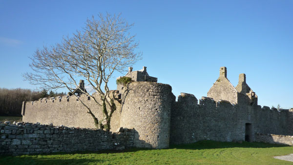 Cappanknochaun FortFairy fort / earthen ringfort · 1.1 mi
 Saint James's Catholic Churchchurch/chapel · 2.5 mi
 Castle (in ruins)Castle, tower house · 2.8 mi
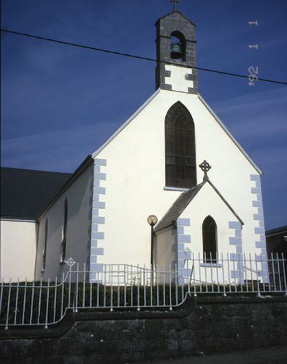 Saint Mary's Catholic Churchchurch/chapel · 2.9 mi
 Castle (Site of)Castle, tower house · 3.1 mi
 MagheraMountain / peak · 3.2 mi
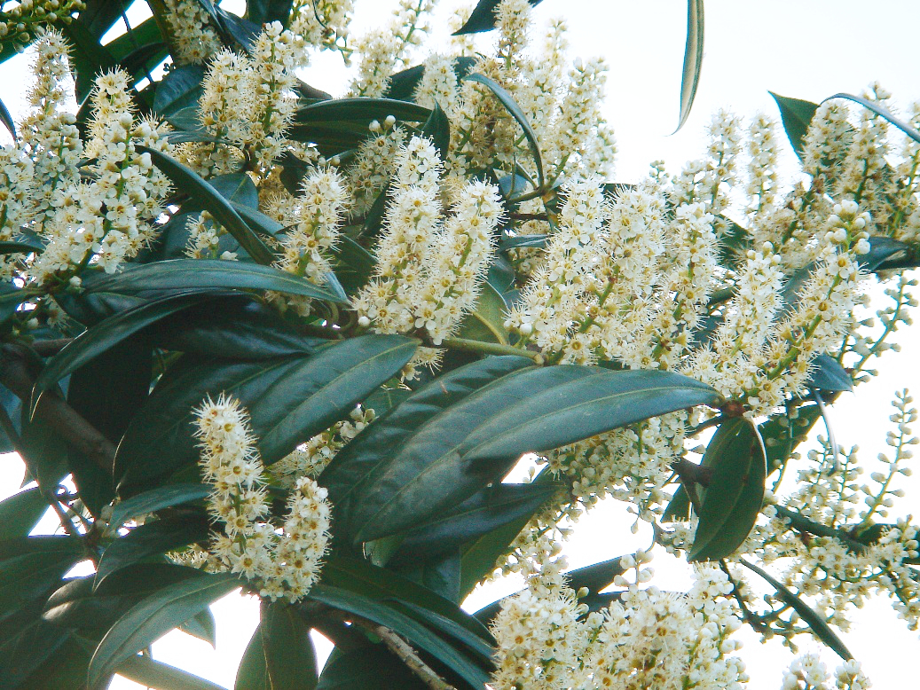 Cherry laurelCherry laurel · 3.9 mi
 Japanese cedarJapanese cedar · 3.9 mi
 The StablesGallery · 4.3 mi
 Cloghleagh RockNamed rock · 7.1 mi
 Mulkere MemorialMemorial · 7.6 mi